Morrison Flight Park
Morrison Flight Park | |||||||||||
|---|---|---|---|---|---|---|---|---|---|---|---|
| Summary | |||||||||||
| Airport type | Private | ||||||||||
| Owner | Lester W. Morrison | ||||||||||
| Location | Linton, Indiana | ||||||||||
| Elevation AMSL | 520 ft / 158 m | ||||||||||
| Coordinates | 39°01′18″N 087°11′13″W / 39.02167°N 87.18694°W | ||||||||||
| Map | |||||||||||
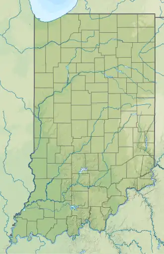 0IN6 Location of airport in Indiana | |||||||||||
| Runways | |||||||||||
| |||||||||||
| Statistics (2003) | |||||||||||
| |||||||||||
Morrison Flight Park (FAA LID: 0IN6, formerly 4U8) is a private use ultralight airport in Greene County, Indiana, United States.[1] It is located two nautical miles (4 km) southwest of the central business district of Linton, Indiana,[1] and was previously a public use airport.[2]
Facilities and aircraft
Morrison Flight Park resides at elevation of 520 feet (158 m) above mean sea level. It has one runway designated 18U/36U with a turf surface measuring 1,225 by 70 feet (373 x 21 m).[1]
For the 12-month period ending December 31, 2003, the airport had 420 general aviation aircraft operations, an average of 35 per month. There are four ultralight aircraft based at this airport.[1]
See also
References
- ^ a b c d e FAA Airport Form 5010 for 0IN6 PDF. Federal Aviation Administration. Effective November 15, 2012.
- ^ "4U8 – Morrison Flight Park". Federal Aviation Administration (republished by AirNav). February 10, 2010. Archived from the original on February 18, 2010.
External links
- Aerial photo as of April 1998 from USGS The National Map
- Resources for this airport:
- FAA airport information for 0IN6
- AirNav airport information for 0IN6
- FlightAware airport information and live flight tracker
- SkyVector aeronautical chart for 0IN6