Morro do Capão Doce
| Morro do Capão Doce | |
|---|---|
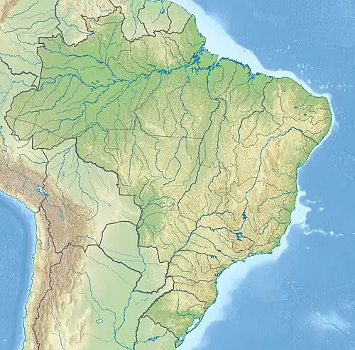 Morro do Capão Doce Location in southern Brazil | |
| Highest point | |
| Elevation | 1,340 m (4,400 ft)[1] |
| Coordinates | 26°44′S 51°26′W / 26.733°S 51.433°W[1] |
| Naming | |
| Language of name | Brazilian Portuguese |
| Geography | |
| Location | Santa Catarina, Paraná, Brazil |
| Parent range | Brazilian Highlands |
Morro do Capão Doce is a hill in southern Brazil located between the states of Paraná and Santa Catarina. It reaches a height of 1,340 metres (4,396 ft) and consists of a rounded elevation, rising above the surrounding land and has local relief of less than 300m. Its drainage basins include the Paraná, Rio de la Plata and the Atlantic Ocean.
References
- ^ a b "Morro do Capão Doce". Peakbagger.com. Retrieved 2011-07-12.