Motukiekie Island
 North of Motukiekie Island | |
 Motukiekie Island | |
| Geography | |
|---|---|
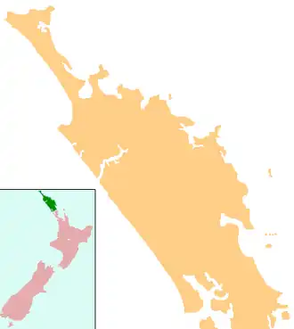
| Location | Bay of Islands |
| Coordinates | 35°13′01″S 174°12′09″E / 35.21694°S 174.20250°E |
| Length | 1.2 km (0.75 mi) |
| Width | 0.57 km (0.354 mi) |
| Highest elevation | 82 m (269 ft) |
| Administration | |
New Zealand | |
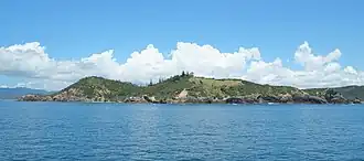
Motukiekie Island is a small island in the Bay of Islands of New Zealand, located about 8 kilometres (5.0 mi) northeast of Russell.[1]
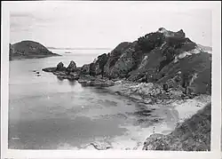
Motukiekie is a narrow island located northeast of Moturua, central among the southeastern group of large islands. The island features a prominent central ridge with several steep, short ridges extending outward. It has a few small, exposed bays but lacks deep, sheltered bays.[2]
Etymology
In Māori, 'motu' means island[3] and 'kiekie' is the native vine Freycinetia banksii.[4]
References
- ^ "Motukiekie Island, Northland – NZ Topo Map". NZ Topo Map. Land Information New Zealand. Retrieved 6 November 2024.
- ^ "Motukiekie Island Heritage Collection". Whangarei District Library. Retrieved 7 November 2024.
- ^ "Motu". Te Aka Maori Dictionary.
- ^ "kiekie". Te Aka Maori Dictionary.