Moulyinning, Western Australia
| Moulyinning Western Australia | |
|---|---|
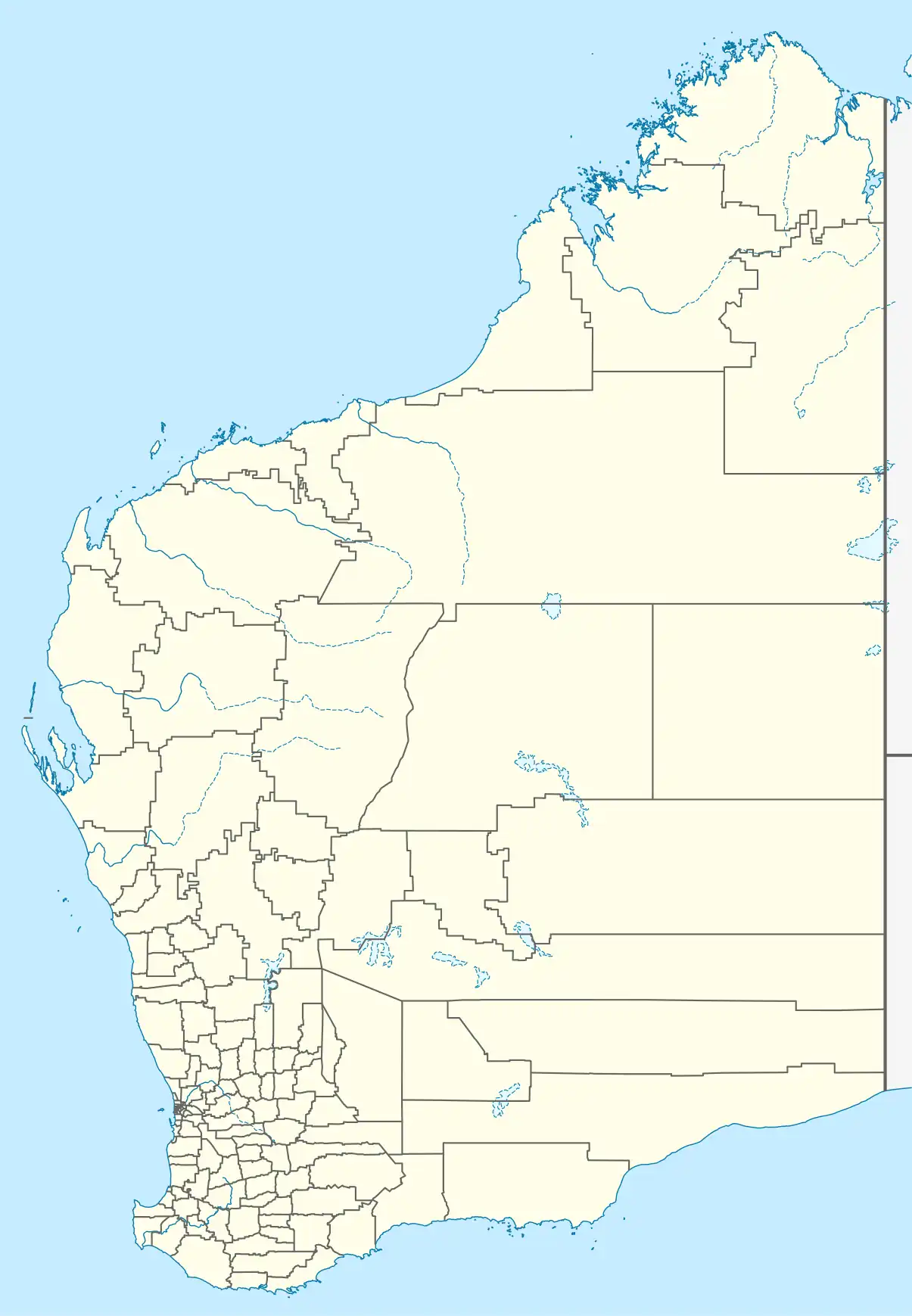 Moulyinning Location in Western Australia | |
| Coordinates | 33°13′34.7″S 117°55′38.3″E / 33.226306°S 117.927306°E |
| Population | 34 (2021 census)[1] |
| Established | 1914 |
| Postcode(s) | 6351 |
| Location | |
| LGA(s) | Shire of Dumbleyung |
| State electorate(s) | Roe |
| Federal division(s) | O'Connor |
Moulyinning is a small town located in the Shire of Dumbleyung, 18 kilometres (11 mi) west of Kukerin. Most members of the population live outside the town-site, living and working on farms managing live stock and producing wheat and other cereal crops. The primary features of the townsite include the Town Hall, primary school and a receival site for the CBH Group alongside the Newdegate railway line.[2][3]
References
- ^ Australian Bureau of Statistics (28 June 2022). "Moulyinning (Suburbs and Localities)". 2021 Census QuickStats. Retrieved 9 June 2022.
- ^ CBH receival sites CBH Group
- ^ "State Heritage Council". 2017. Retrieved 10 March 2020.
External links