Mount Baya
| Mount Baya | |
|---|---|
 Mount Baya .svg.png) Mount Baya | |
| Highest point | |
| Elevation | 1,484 m (4,869 ft)[1] |
| Listing | Inactive volcanoes in the Philippines |
| Coordinates | 7°47′11″N 124°5′48″E / 7.78639°N 124.09667°E |
| Geography | |
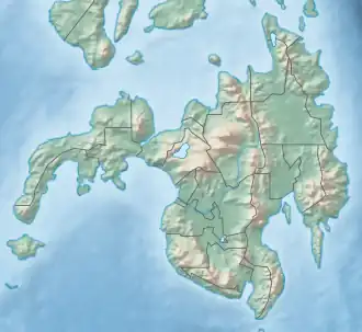
| Country | Philippines |
| Province | Lanao del Sur |
| Region | Bangsamoro |
| City/municipality | Ganassi |
| Geology | |
| Mountain type | Cinder cone |
| Last eruption | Unknown |
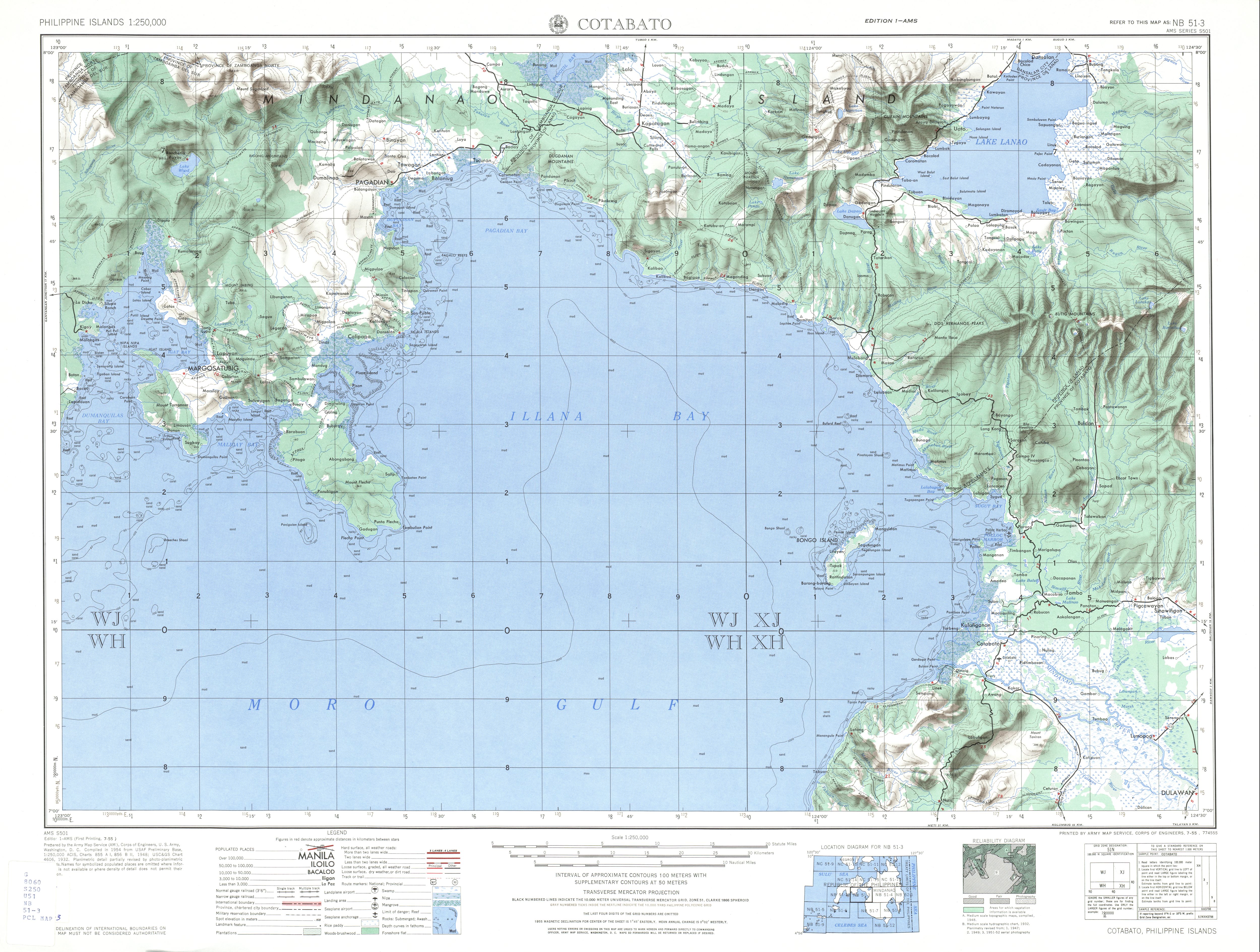
Mount Baya is a dormant volcano in the municipality of Ganassi in Lanao del Sur province, Philippines. The mountain has a peak elevation of 1,484 meters (4,869 ft) rising from a plateau of about 950 meters (3,120 ft). It is located about 4 kilometers (2.5 mi) east of Lake Dapao and about 4.5 kilometers (2.8 mi) southwest of Lake Lanao.[1] Between Lake Dapao and Mount Baya is Mount Gadungan, another inactive volcano.[2]
The Philippine Institute of Volcanology and Seismology (PHIVOLCS) lists Mount Baya as Inactive.[3]
See also
References
- ^ a b U.S. Army Corps of Engineer (1948). "Cotabato (topographic map)". University of Texas Library in Austin. Retrieved on 2013-11-15.
- ^ "List of Inactive Volcanoes Part 3" Archived 2015-09-24 at the Wayback Machine. Philippines Institute of Volcanology and Seismology. Retrieved on 2013-11-15.
- ^ "List of Inactive Volcanoes Part 1" Archived 2015-09-24 at the Wayback Machine. Philippines Institute of Volcanology and Seismology. Retrieved on 2013-11-15.