Mount Bethel, Pennsylvania
Mount Bethel, Pennsylvania | |
|---|---|
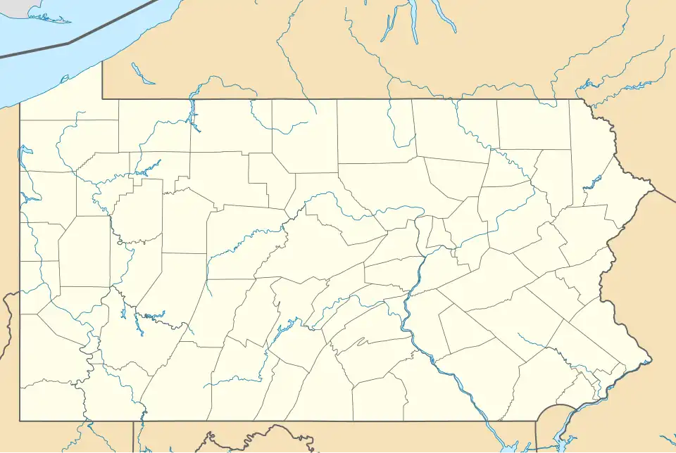
 Northbound on PA Route 611 in Mouth Bethel | |
 Mount Bethel Location of Mount Bethel in Pennsylvania  Mount Bethel Mount Bethel (the United States) | |
| Coordinates: 40°54′17″N 75°6′42″W / 40.90472°N 75.11167°W | |
| Country | |
| State | |
| County | Northampton |
| Township | Upper Mount Bethel |
| Elevation | 160 m (525 ft) |
| Population | |
| • Metro | 865,310 (US: 68th) |
| Time zone | UTC−5 (Eastern (EST)) |
| • Summer (DST) | UTC−4 (EDT) |
| ZIP Code | 18343 |
| Area codes | 570 and 272 |
| GNIS feature ID | 1213141[1] |
Mount Bethel is an unincorporated community in Upper Mount Bethel Township in Northampton County, Pennsylvania. It is part of the Lehigh Valley metropolitan area, which had a population of 861,899 and was the 68th-most populous metropolitan area in the U.S. as of the 2020 census.
Mount Bethel is located along Pennsylvania Route 611, north of the intersection with Pennsylvania Route 512.[2]
Demographics
| Census | Pop. | Note | %± |
|---|
The United States Census Bureau defined Mount Bethel as a census designated place (CDP) in 2023.[3]
References
- ^ "Mount Bethel". Geographic Names Information System. United States Geological Survey, United States Department of the Interior.
- ^ "Northampton County, Pennsylvania Highway Map" (PDF). PennDOT (FTP). 2013. Retrieved January 28, 2014. (To view documents see Help:FTP)
- ^ "2023 Geography Changes". United States Census Bureau.
Municipalities and communities of Northampton County, Pennsylvania, United States | ||
|---|---|---|
| Region | 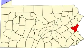 | |
| Cities | ||
| Boroughs | ||
| Townships | ||
| CDPs | ||
| Other communities | ||
| Former settlements | ||
| Notable people | ||
| Culture | ||