Mount Carbon, West Virginia
Mount Carbon, West Virginia | |
|---|---|
Census-designated place (CDP) | |
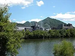 Coal processing plant Mount Carbon WV | |
| Nickname: Adena | |
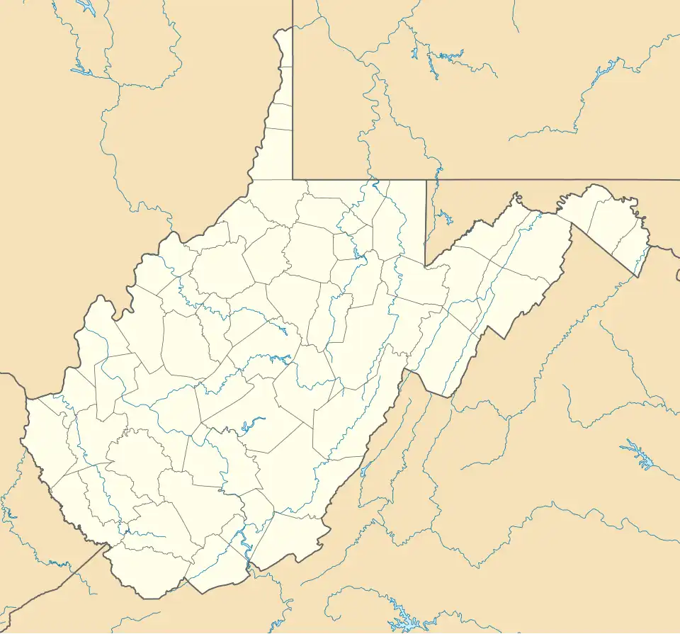 Mount Carbon  Mount Carbon | |
| Coordinates: 38°08′16″N 81°17′08″W / 38.13778°N 81.28556°W | |
| Country | United States |
| State | West Virginia |
| County | Fayette |
| Area | |
• Total | 0.241 sq mi (0.62 km2) |
| • Land | 0.149 sq mi (0.39 km2) |
| • Water | 0.092 sq mi (0.24 km2) |
| Elevation | 643 ft (196 m) |
| Population (2020) | |
• Total | 341 |
| • Density | 1,400/sq mi (550/km2) |
| Time zone | UTC-5 (Eastern (EST)) |
| • Summer (DST) | UTC-4 (EDT) |
| ZIP code | 25139 |
| Area codes | 304 & 681 |
| GNIS feature ID | 1555166[2] |
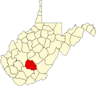
Mount Carbon is a census-designated place (CDP) in Fayette County, West Virginia, United States. Mount Carbon is located along West Virginia Route 61, 3 miles (4.8 km) southeast of Montgomery, on the south bank of the Kanawha River at the mouth of Armstrong Creek.[3] Mount Carbon has a post office with ZIP code 25139.[4] As of the 2020 census, its population was 341 (down from 428 at the 2010 census).[5][6]
Namesake
Mount Carbon was named for nearby coal deposits, a carbon-based fuel.[7]
References
- ^ "US Gazetteer files: 2010, 2000, and 1990". United States Census Bureau. February 12, 2011. Retrieved April 23, 2011.
- ^ U.S. Geological Survey Geographic Names Information System: Mount Carbon, West Virginia
- ^ The National Map, accessed 2013-11-26
- ^ ZIP Code Lookup
- ^ "Census Bureau profile: Mount Carbon CDP, West Virginia". United States Census Bureau. May 2023. Retrieved May 25, 2025.
- ^ "U.S. Census website". United States Census Bureau. Retrieved May 14, 2011.
- ^ Kenny, Hamill (1945). West Virginia Place Names: Their Origin and Meaning, Including the Nomenclature of the Streams and Mountains. Piedmont, WV: The Place Name Press. p. 431.