Mount Chiroro
| Mount Chiroro | |
|---|---|
| チロロ岳 | |
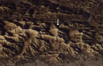 Mount Chiroro from a satellite photo taken by NASA | |
| Highest point | |
| Elevation | 1,879.9 m (6,168 ft) |
| Listing | List of mountains and hills of Japan by height |
| Coordinates | 42°49′32″N 142°40′31″E / 42.82556°N 142.67528°E |
| Geography | |
| Location | Hokkaido, Japan |
| Parent range | Hidaka Mountains |
| Topo map(s) | Geographical Survey Institute (国土地理院, Kokudochiriin) 50000:1 幌尻岳, 25000:1 ピパイロ岳 |
| Geology | |
| Mountain type | Fold |
Mount Chiroro (チロロ岳, Chiroro-dake) is located in the Hidaka Mountains, Hokkaido, Japan. Mount Chiroro's western summit (チロロ西峰, Chiroro-nishi-hō) has a height of 1,848 metres (6,063 ft).
References
- Google Maps
- Geographical Survey Institute
- Shyun Umezawa, Yasuhiko Sugawara, and Jun Nakagawa, Hokkaidō Natsuyama Gaido 4: Hidaka Sanmyaku no Yamayama (北海道夏山ガイド4日高山脈の山やま), Sapporo, Hokkaidō Shimbunshya, 1991. ISBN 4-89363-605-7