Mount Fillmore
| Mount Fillmore | |
|---|---|
 Mount Fillmore | |
| Highest point | |
| Elevation | 7,719 ft (2,353 m) NAVD 88[1] |
| Prominence | 1,675 ft (511 m)[1] |
| Coordinates | 39°43′49″N 120°51′09″W / 39.7301723°N 120.8524485°W[2] |
| Geography | |
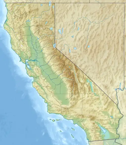
| Location | Sierra County, California, U.S. |
| Parent range | Sierra Nevada |
| Topo map | USGS Mount Fillmore |
Mount Fillmore is a mountain in the Plumas National Forest in Sierra County, California. It is 8 miles (13 km) northeast of La Porte and 12 miles (19 km) north of Downieville.[3]
Mount Fillmore was named for a naval officer.[4]
References
- ^ a b "Mount Fillmmore, California". Peakbagger.com.
- ^ "Mount Fillmore". Geographic Names Information System. United States Geological Survey, United States Department of the Interior.
- ^ Durham, David L. (1998). California's Geographic Names: A Gazetteer of Historic and Modern Names of the State. Quill Driver Books. p. 527. ISBN 1-884995-14-4.
- ^ Gannett, Henry (1905). The Origin of Certain Place Names in the United States. Govt. Print. Off. pp. 125.