Mount Gaudry
| Mount Gaudry | |
|---|---|
 | |
| Highest point | |
| Elevation | 2,560 m (8,400 ft)[1] |
| Prominence | 2,560 m (8,400 ft)[2] |
| Listing | Ultra, Ribu |
| Coordinates | 67°32′S 68°37′W / 67.533°S 68.617°W[3] |
| Geography | |
 Mount Gaudry | |
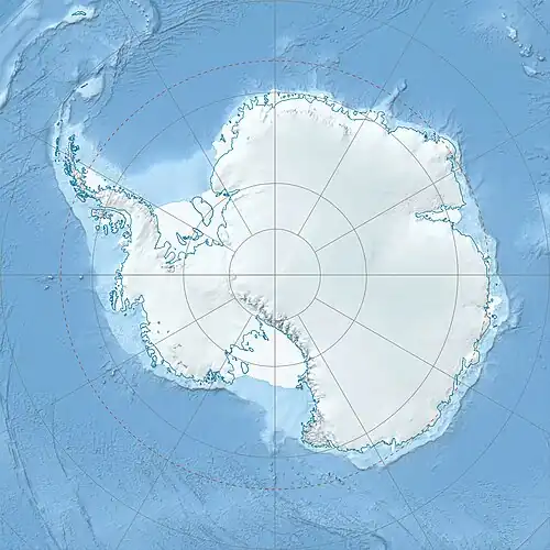
Mount Gaudry is a mountain, 2,560 metres (8,400 ft) high, rising close southwest of Mount Barre and 5 nautical miles (9 km) north-northwest of Mount Liotard in the southern part of Adelaide Island, Antarctica. It was discovered by the French Antarctic Expedition, 1903–05, under Jean-Baptiste Charcot, who named it after Albert Gaudry, a prominent French paleontologist.[3]
See also
References
- ^ "World Ribus – West Antarctica Ranges". World Ribus. Retrieved 2024-12-26.
- ^ "World Ribus – West Antarctica Ranges". World Ribus. Retrieved 2024-12-26.
- ^ a b "Gaudry, Mount". Geographic Names Information System. United States Geological Survey, United States Department of the Interior. Retrieved 2012-04-18.
External links
- "Mount Gaudry, Antarctica" on Peakbagger
![]() This article incorporates public domain material from "Gaudry, Mount". Geographic Names Information System. United States Geological Survey.
This article incorporates public domain material from "Gaudry, Mount". Geographic Names Information System. United States Geological Survey.