Mount Gilboa (Massachusetts)
| Mount Gilboa | |
|---|---|
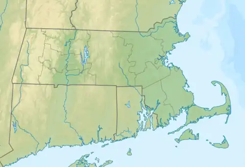 Mount Gilboa Location of Mount Gilboa in Massachusetts  Mount Gilboa Mount Gilboa (the United States) | |
| Highest point | |
| Elevation | 85 ft (26 m) |
| Coordinates | 42°03′54″N 70°09′29″W / 42.0650164°N 70.1581040°W[1] |
| Geography | |
| Location | Cape Cod, Massachusetts |
| Topo map | USGS Provincetown |
Mount Gilboa is a mountain in Barnstable County, Massachusetts. It is 1.8 miles (2.9 km) northeast of Provincetown in the Town of Provincetown. High Pole Hill is located west-southwest and Mount Ararat is located northeast of Mount Gilboa.
References
- ^ "Mount Gilboa". Geographic Names Information System. United States Geological Survey, United States Department of the Interior. Retrieved August 20, 2018.