Mount Glenn
| Mount Glenn | |
|---|---|
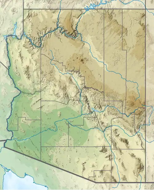 Mount Glenn Location in Arizona  Mount Glenn Mount Glenn (the United States) | |
| Highest point | |
| Elevation | 7,523 ft (2,293 m) NAVD 88[1] |
| Prominence | 2,840 ft (866 m)[2] |
| Coordinates | 31°57′08″N 109°59′13″W / 31.952229103°N 109.986957319°W[1] |
| Geography | |
| Location | Cochise County, Arizona, U.S. |
| Parent range | Dragoon Mountains |
| Topo map | USGS Cochise Stronghold |
| Climbing | |
| Easiest route | Hike |
Mount Glenn, is in the Coronado National Forest, about 75 miles (121 km) east of Tucson, Arizona. The summit, in Cochise County, is the highest point in the Dragoon Mountains[2] and is a popular local hiking destination.
Mount Glenn was named around 1888 after Calvin Glenn, who was a manager for the Chiricahua Cattle Co. at the time.[3]
See also
References
- ^ a b "Dragoon". NGS Data Sheet. National Geodetic Survey, National Oceanic and Atmospheric Administration, United States Department of Commerce. Retrieved February 6, 2014.
- ^ a b "Mount Glenn, Arizona". Peakbagger.com. Retrieved February 6, 2014.
- ^ Barnes, Will C. (1988). Arizona Place Names (3rd ed.). Tucson : University of Arizona Press. p. 180. ISBN 0-8165-1074-1. Retrieved September 25, 2024.
{{cite book}}: CS1 maint: publisher location (link)