Mount Helen (British Columbia)
| Mount Helen | |
|---|---|
 Mount Helen Location in British Columbia 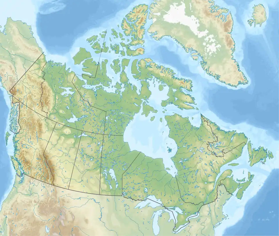 Mount Helen Location in Canada | |
| Highest point | |
| Elevation | 2,549 m (8,363 ft)[1] |
| Prominence | 240 m (790 ft)[1] |
| Listing | Mountains of British Columbia |
| Coordinates | 57°16′30″N 123°55′05″W / 57.27500°N 123.91806°W[2] |
| Geography | |
| Country | Canada |
| Province | British Columbia |
| District | Peace River Land District[3] |
| Parent range | Muskwa Ranges[2] |
| Topo map | NTS 94G5 Redfern Lake[2] |
Mount Helen is a mountain located south of Fairy Lake and the Besa River in British Columbia, Canada.[3] The mountain was named after the wife of a Vice President of a local oil company.[3]
References
- ^ a b "Mount Helen". Bivouac.com. Retrieved 2025-04-26.
- ^ a b c "Mount Helen". Geographical Names Data Base. Natural Resources Canada. Retrieved 2025-04-26.
- ^ a b c "Mount Helen". BC Geographical Names. Retrieved 2025-04-26.