Mount Herbert (Yakutat)
| Mount Herbert | |
|---|---|
| Boundary Peak 172 | |
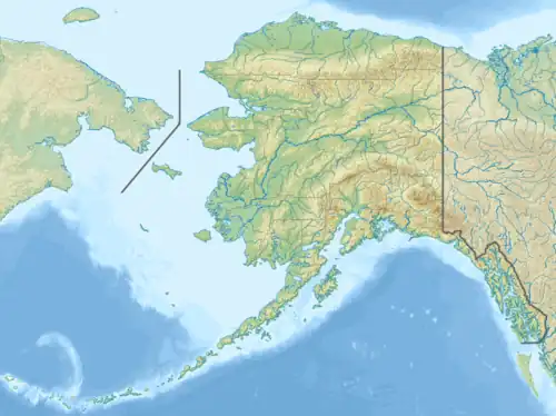 Mount Herbert Location in Alaska  Mount Herbert Location in British Columbia | |
| Highest point | |
| Elevation | 6,102 ft (1,860 m) |
| Prominence | 132 ft (40 m) |
| Coordinates | 59°46′05″N 138°37′34″W / 59.76806°N 138.62611°W |
| Geography | |
| Location | Stikine Region, British Columbia Glacier Bay National Park and Preserve, Alaska |
| Topo map | NTS 114O15 Mount Aylesworth |
Mount Herbert, also named Boundary Peak 172, is a mountain in Alaska and British Columbia, located on the Canada–United States border, and part of the Southern Icefield Ranges of the Saint Elias Mountains.[1] It was named in 1923 for Right Honorable Sir Michael Henry Herbert (1857-1903), British Ambassador to the United States during the early stages of Alaska Boundary Tribunal.[2]