Mount Jefferson (Maine)
| Mount Jefferson | |
|---|---|
 Mount Jefferson | |
| Highest point | |
| Elevation | 755 ft (230 m) |
| Coordinates | 45°21′08″N 68°16′58″W / 45.352222°N 68.282778°W |
| Geography | |
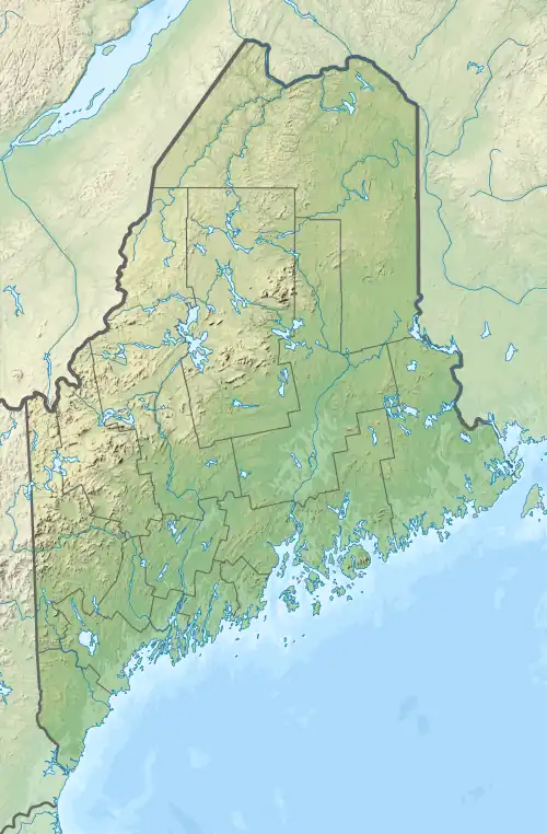
| Location | Penobscot County, Maine, U.S. |
| Topo map | USGS Lee |
| Climbing | |
| Easiest route | Hiking, class 1 |
Mount Jefferson is a mountain in Penobscot County in the U.S. state of Maine. It is 0.6 miles (1.0 km) south of Lee.[1] The mountain is also known as Jefferson Mountain.
References