Mount Komochi
| Mount Komochi | |
|---|---|
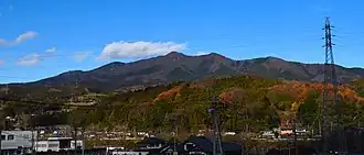 Mount Komochi seen from the SSW. | |
| Highest point | |
| Elevation | 1,296 m (4,252 ft)[1] |
| Prominence | 597 m (1,959 ft)[2] |
| Listing | |
| Coordinates | 36°35′30″N 138°59′52″E / 36.59167°N 138.99778°E[1] |
| Naming | |
| Native name | 子持山 (Japanese) |
| Geography | |
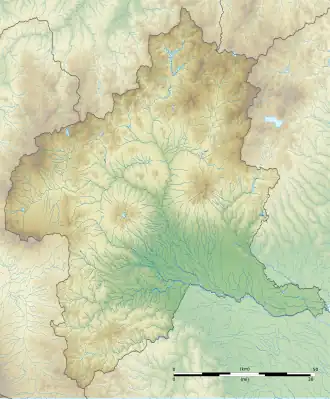 Mount Komochi 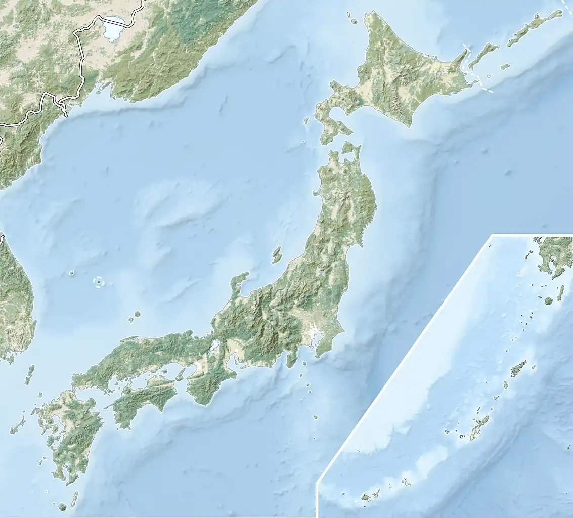 Mount Komochi Mount Komochi (Japan) | |
| Geology | |
| Mountain type | Stratovolcano |
| Volcanic arc | Northeastern Japan Arc |
Mount Komochi (子持山, Komochi-yama) is a volcano in Gunma Prefecture, Japan. Its elevation is 1,296 metres (4,252 ft) and its prominence is 597 metres (1,959 ft).[2]

Komochi Volcano (Right)
References
- ^ a b "Quaternary Volcanoes: Komochi Yama". Geological Survey of Japan. Retrieved 2024-02-25.
- ^ a b "Mount Komochi". PeakVisor. Retrieved 2020-02-07.