Mount Kuma
| Mount Kuma | |
|---|---|
| 熊ヶ岳 | |
| Highest point | |
| Elevation | 2,210 m (7,250 ft) |
| Prominence | 136 m (446 ft) |
| Parent peak | Mount Asahi |
| Listing | List of mountains and hills of Japan by height |
| Coordinates | 43°40′14″N 142°51′43″E / 43.67056°N 142.86194°E |
| Naming | |
| English translation | mountain of bears |
| Language of name | Japanese |
| Pronunciation | [ku͍maɡadake] |
| Geography | |
| Location | Hokkaidō, Japan |
| Parent range | Daisetsuzan Volcanic Group |
| Topo map(s) | Geographical Survey Institute 25000:1 旭岳 25000:1 愛山溪温泉 25000:1 層雲峡 25000:1 白雲岳 50000:1 旭岳 50000:1 大雪山 |
| Geology | |
| Mountain type | stratovolcano |
| Volcanic arc | Kurile arc |
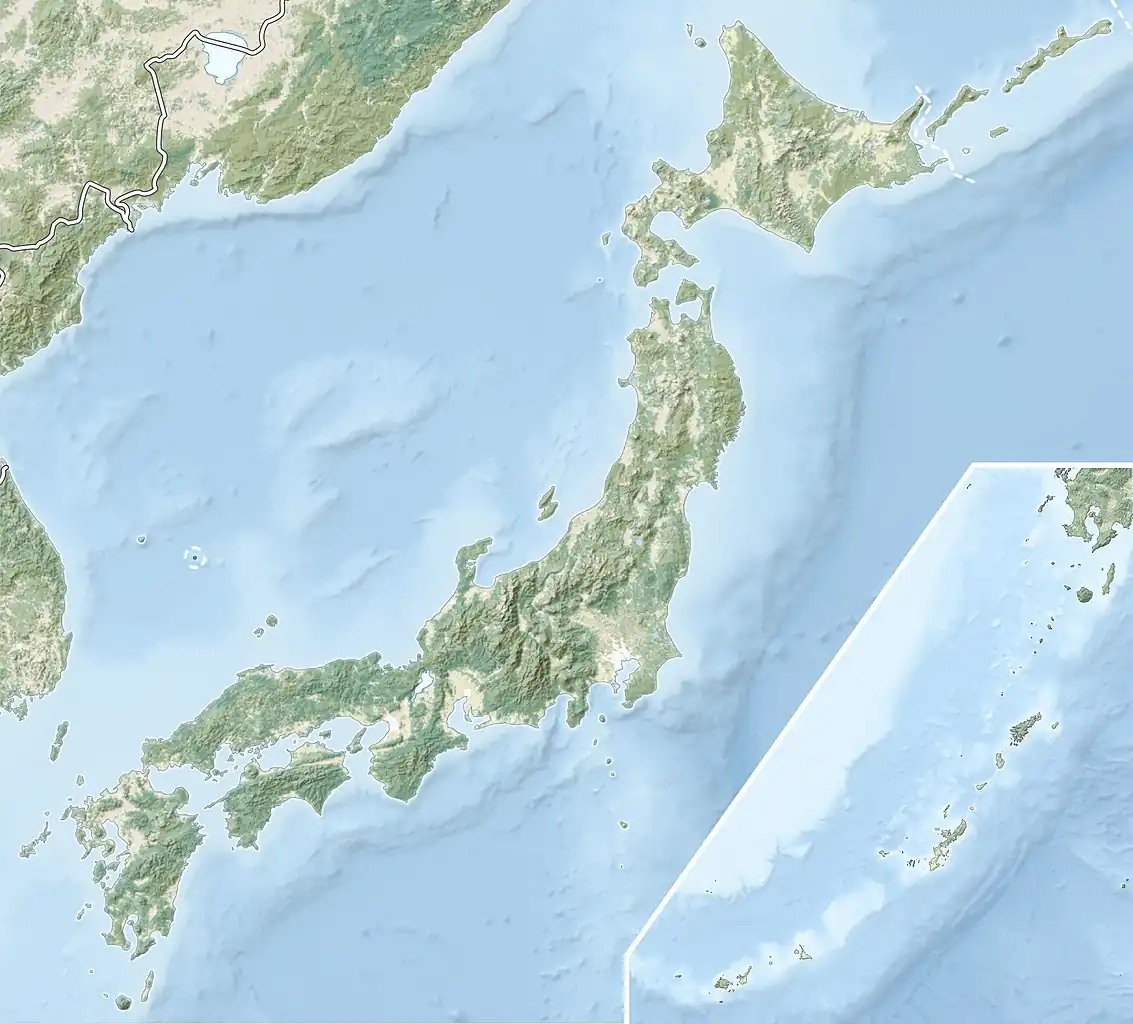
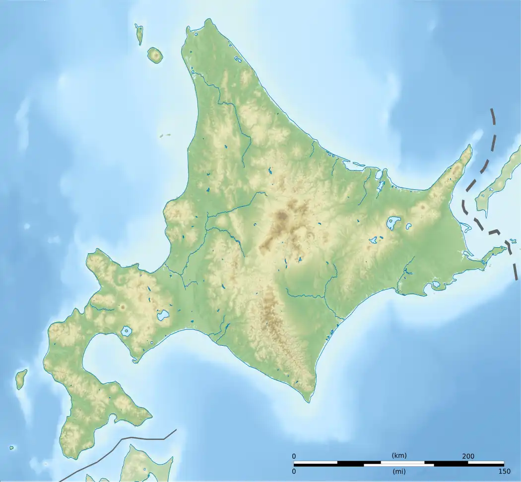
Mount Kuma (熊ヶ岳, Kuma-ga-dake), or Mount Kumaga, is a stratovolcano located in the Daisetsuzan Volcanic Group of the Ishikari Mountains, Hokkaidō, Japan.
See also
References
- Geographical Survey Institute
- Synonyms and Subfeatures of Daisetsu, Global Volcanism Program, Smithsonian National Museum of Natural History, last access 10 July 2008.