Mount Lawit
| Mount Lawit | |
|---|---|
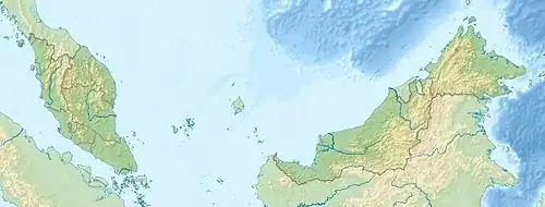 Mount Lawit Location on Indonesia–Malaysia border | |
| Highest point | |
| Elevation | 1,767 m (5,797 ft) |
| Prominence | 1,128 m (3,701 ft) |
| Listing | Ribu |
| Coordinates | 1°24′N 112°58′E / 1.400°N 112.967°E |
| Geography | |
| Location | Indonesia – Malaysia border |
Mount Lawit (Gunung Lawit) is a mountain on the island of Borneo.[1] It is 1,767 m (5,797 ft) high and sits on the international border between Indonesia and Malaysia. On the Indonesian side of the border, the mountain is within the Betung Kerihun National Park.[2]
References