Mount Onnebetsu
| Mount Onnebetsu | |
|---|---|
| 遠音別岳 | |
 Mount Onnebetsu | |
| Highest point | |
| Elevation | 1,330.4 m (4,365 ft)[1] |
| Listing | List of mountains and hills of Japan by height |
| Coordinates | 43°59′36″N 145°0′48″E / 43.99333°N 145.01333°E[2] |
| Geography | |
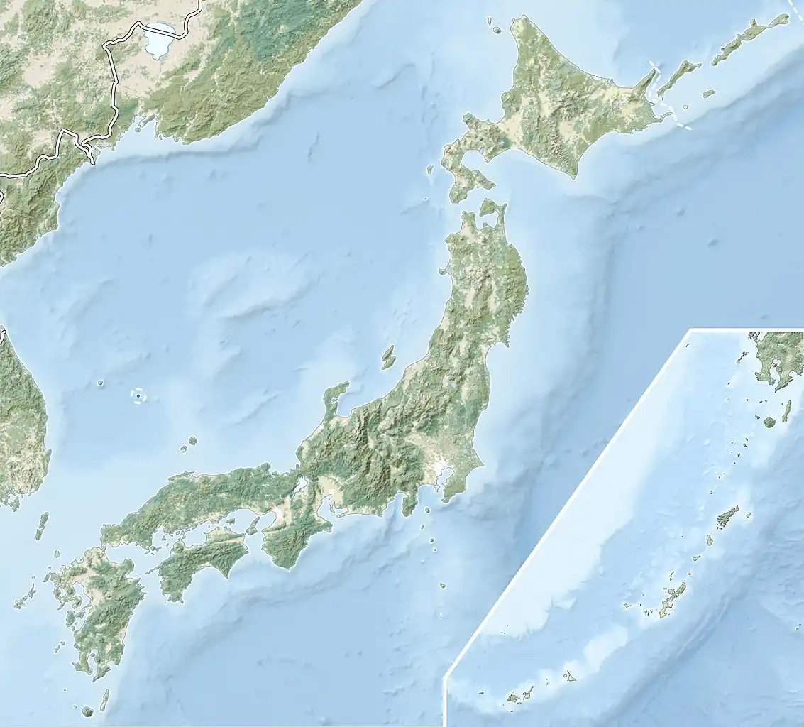 Mount Onnebetsu Location of Mount Onnebetsu in Japan. | |
| Location | Hokkaido, Japan |
| Parent range | Shiretoko Peninsula |
| Topo map | Geospatial Information Authority of Japan 25000:1 遠音別岳 25000:1 真鯉 50000:1 斜里 50000:1 標津 |
| Geology | |
| Rock age | Quaternary |
| Mountain type(s) | Stratovolcano and Lava dome |
| Volcanic arc | Kurile arc |
| Last eruption | ca. 0.4–0.2 million years ago |
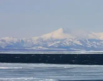
Mount Onnebetsu (遠音別岳, Onnebetsu-dake) is a Quaternary stratovolcano.[3] Its summit is 1,330.4 metres (4,365 ft) above sea level.[1] It is located on Hokkaido's Shiretoko Peninsula on the border of Shari in Shari District, Okhotsk and Rausu in Menashi District, Nemuro.
Geology
The mountain is made mainly of andesite.[3]
See also
References
- ^ a b "Chiri-in chizu" 地理院地図 [Geographical Survey Institute map] (in Japanese). Geospatial Information Authority of Japan. Retrieved November 11, 2023.
- ^ "Nihon no omona sangaku" 日本の主な山岳 [Japan's main mountains] (in Japanese). Geospatial Information Authority of Japan. Retrieved November 11, 2023.
- ^ a b "Chinishibetsu on'nebetsu" 知西別・遠音別 [Chiseibetsu/Toonebetsu]. Quaternary Volcanoes of Japan (in Japanese). Geological Survey of Japan. Retrieved November 11, 2023.
External links
- "Onnebetsu". Global Volcanism Program. Smithsonian Institution. Retrieved November 11, 2023.