Mount Sibulan
| Mount Sibulan | |
|---|---|
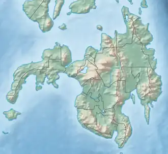 Mount Sibulan .svg.png) Mount Sibulan Mount Sibulan (Philippines) | |
| Highest point | |
| Peak | Abuno Peak[1] |
| Elevation | 1,292 m (4,239 ft)[1][2] |
| Prominence | 102 m (335 ft) |
| Listing | Mountains in the Philippines |
| Coordinates | 6°55′08″N 125°24′20″E / 6.91889°N 125.40556°E[2] |
| Geography | |
| Location | Mindanao |
| Country | Philippines |
| Province | Davao del Sur |
| Region | Davao |
| Settlement | Santa Cruz |
| Parent range | Apo–Talomo Mountain range |
| Geology | |
| Mountain type | Inactive volcano |
Mount Sibulan is an inactive volcano located in Santa Cruz, Davao del Sur near a resort called Forest Hill Resort in the province of Region XI. It is located within Mount Apo Natural Park.[3]
References
- ^ a b "Topographic map of Mount Sibulan". opentopomap.org. Retrieved 2023-03-06.
- ^ a b "Mount Sibulan". geonames.org. Retrieved 6 March 2023.
- ^ "Hydropower company joins cause to improve forest condition in country's highest peak". Department of Environment and Natural Resources (DENR). Retrieved 26 February 2022.
External links
- Kellman, Martin C. (1970). Secondary Plant Succession in Tropical Montane Mindanao. Australian National University. p. 5. ISBN 978-0-7081-0351-7. Retrieved 26 February 2022.