Mount Telomoyo
| Mount Telomoyo | |
|---|---|
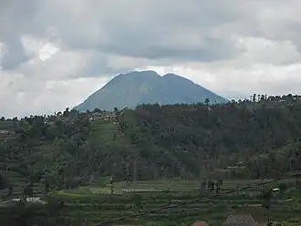 Mount Telomoyo seen from Ketep Pass | |
| Highest point | |
| Elevation | 1,894 m (6,214 ft)[1] |
| Coordinates | 7°22′S 110°24′E / 7.37°S 110.40°E |
| Geography | |
| Geology | |
| Rock age | Holocene |
| Mountain type | Stratovolcano |
| Volcanic arc | Sunda Arc |
| Last eruption | Unknown |
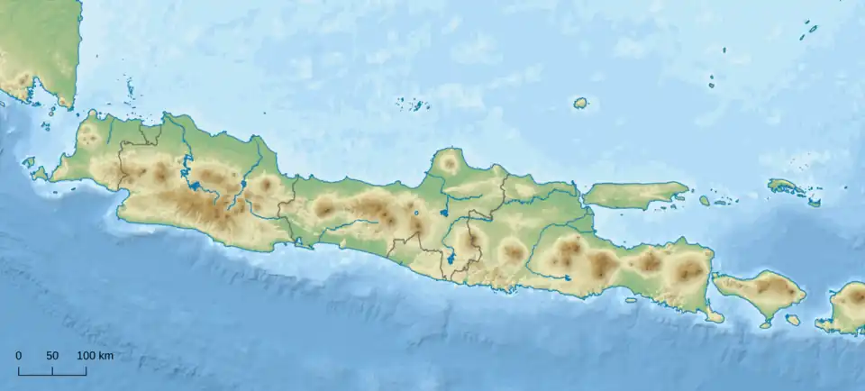
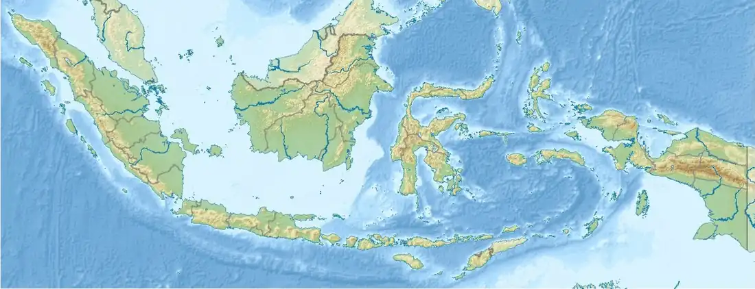

Mount Telomoyo is a stratovolcano in Central Java, Indonesia. The volcano was constructed over the southern flank of the eroded Pleistocene-age Soropati volcano, which has a height of 1,300 metres (4,300 ft).[2] The Soropati volcano collapsed during the Pleistocene, leaving a U-shaped depression. Mount Telomoyo grows on the southern side of the depression, reaching over 600 metres (2,000 ft) above the depression's rim.[1]
See also
References
- ^ a b "Telomoyo". Global Volcanism Program. Smithsonian Institution. Retrieved 2006-12-26.
- ^ "Telomoyo". Archived from the original on 2007-08-21.
Wikimedia Commons has media related to Mount Telomoyo.