Mpal, Senegal
Mpal, Senegal | |
|---|---|
Town and commune | |
 Mpal, Senegal | |
| Coordinates: 15°55′N 16°16′W / 15.917°N 16.267°W | |
| Country | |
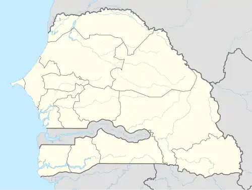
| Region | Saint-Louis Region |
| Department | Saint-Louis |
| Area | |
• Town and commune | 2.679 km2 (1.034 sq mi) |
| Elevation | 20 m (70 ft) |
| Population (2023 census)[1] | |
• Town and commune | 11,025 |
| • Density | 4,100/km2 (11,000/sq mi) |
| Time zone | UTC+0 (GMT) |
Mpal is a town and urban commune in Saint-Louis Region in north-western Senegal. It lies on a branch railway of the Senegal Railway system.
See also
References
- ^ Citypopulation.de Population and area of Mpal Commune