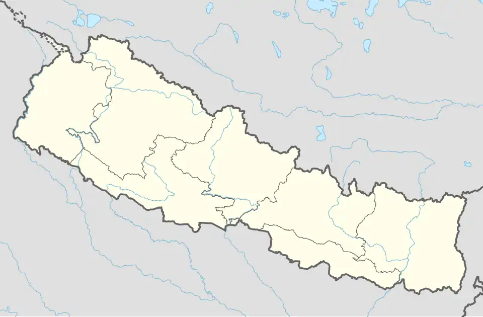
Muga, Nepal
Muga
मुगा | |
|---|---|
 Muga Location in Nepal | |
| Coordinates: 27°02′N 87°13′E / 27.04°N 87.21°E | |
| Country | |
| Zone | Kosi Zone |
| District | Dhankuta District |
| Population (1991) | |
• Total | 4,101 |
| Time zone | UTC+5:45 (Nepal Time) |
| Postal code | 56807 |
| Area code | 026 |
Muga is a village development committee in Dhankuta District in the Kosi Zone of eastern Nepal. At the time of the 1991 Nepal census it had a population of 4101 people living in 738 individual households.[1]
References
- ^ "Nepal Census 2001". Nepal's Village Development Committees. Digital Himalaya. Retrieved 24 November 2008.
Headquarters: Dhankuta Municipality | ||
| Rural municipalities | 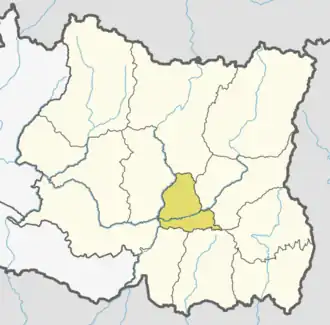 | |
| Municipalities | ||