Mugalkhod
Mugalakhod | |
|---|---|
village | |
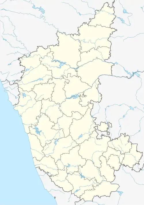 Mugalakhod Location in Karnataka, India  Mugalakhod Mugalakhod (India) | |
| Coordinates: 16°22′33″N 75°12′29″E / 16.3759°N 75.2081°E | |
| Country | |
| State | Karnataka |
| District | Belagavi |
| Talukas | Raybag |
| Government | |
| • Type | Panchayat raj |
| • Body | Pur sabhe |
| Population (2001) | |
• Total | 7,168 |
| Languages | |
| • Official | Kannada |
| Time zone | UTC+5:30 (IST) |
| ISO 3166 code | IN-KA |
| Vehicle registration | KA |
| Website | karnataka |
Mugalakhod is a village in the southern state of Karnataka, India.[1][2] It is located in the Raybag taluk of Belagavi district in Karnataka.[3]
Demographics
At the 2001 India census, Mugalakhod had a population of 7168 with 3677 males and 3491 females. It's 10 km from Mahalingapur and 10 km from Mudhol[1]
See also
References
- ^ a b Village code= 142000 "Census of India : Villages with population 5000 & above". Registrar General & Census Commissioner, India. Retrieved 18 December 2008.
- ^ "Yahoomaps India : Mugalakhod, Belagavi, Karnataka". Retrieved 18 December 2008.
- ^ "Mugalkhod Pin Code | Postal Code (Zip Code) of Mugalakhod, Belagavi, Karnataka, India".
External links