Musheramore
| Musheramore | |
|---|---|
| Muisire Mór[1] | |
 Musheramore | |
| Highest point | |
| Elevation | 643 m (2,110 ft)[2][3] |
| Prominence | 439 m (1,440 ft)[2] |
| Listing | Hewitt, Marilyn |
| Coordinates | 52°00′50″N 8°58′42″W / 52.013903°N 8.978393°W |
| Naming | |
| English translation | great [mountain] of the Múscraige |
| Language of name | Irish |
| Geography | |
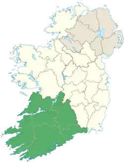
| Location | County Cork, Ireland |
| Parent range | Boggeragh Mountains |
| OSI/OSNI grid | W328850 |
Musheramore (Irish: Muisire Mór, 'big Mushera') is a mountain with a height of 643 metres (2,110 ft) in County Cork, Ireland. It is the highest of the Boggeragh Mountains.[2] The neighbouring hill is Musherabeg (Muisire Beag, 'little Mushera'), with a height of 499 metres (1,637 ft).[4] Historically the mountain was called Knock Muskery, from Cnoc Múscraighe meaning "hill of the Múscraige", a Gaelic tribe who gave their name to the barony of Muskerry.[5] There are two holy wells on the mountain: one near the summit for sick animals, and one on its northern slopes for humans (St John's Well), where mass was traditionally held on midsummer.[2]
See also
References
- ^ "Muisire Mór / Musheramore". Placenames Database of Ireland. Retrieved 2 December 2020.
- ^ a b c d "Musheramore, Boggeragh Mountains". MountainViews.ie. Retrieved 2 December 2020.
- ^ "Musheramore, Ireland". peakbagger.com. Retrieved 2 December 2020.
- ^ "Musherabeg, Boggeragh Mountains". MountainViews.ie. Retrieved 2 December 2020.
- ^ Paul Tempan (2019). "Irish Landscape Names" (PDF). MountainViews.ie.