Nadigaon
Nadigaon | |
|---|---|
Town | |
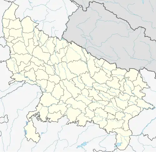 Nadigaon Location in Uttar Pradesh, India 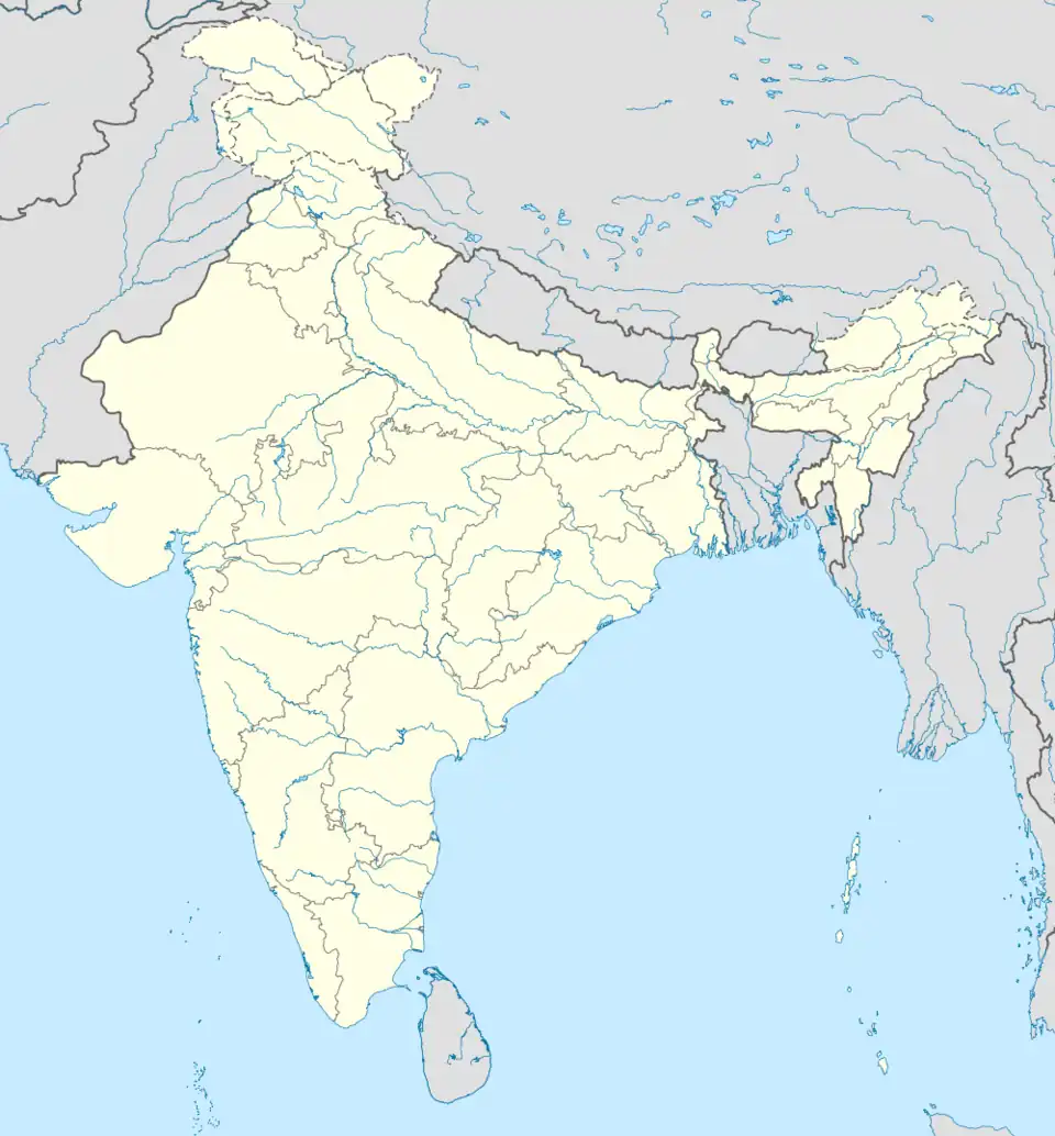 Nadigaon Nadigaon (India) | |
| Coordinates: 26°12′7″N 79°1′48″E / 26.20194°N 79.03000°E | |
| Country | |
| State | Uttar Pradesh |
| District | Jalaun |
| Population (2001) | |
• Total | 17,175 |
| Languages | |
| • Official | Hindi |
| Time zone | UTC+5:30 (IST) |
| Vehicle registration | UP |
| Sex ratio | 54% male, 46% female ♂/♀ |
| Website | up |
Nadigaon is a town and a nagar panchayat in Jalaun district in the Indian state of Uttar Pradesh.
Demographics
As of the 2001 Indian census,[1] Nadigaon had a population of 17,175. Males constitute 54% of the population and females 46%. Nadigaon has an average literacy rate of 53%, lower than the national average of 59.5%: male literacy is 64%, and female literacy is 40%. In Nadigaon, 16% of the population is under 6 years of age. Nadigaon was under rule of Kings and The fort is situated at centre of the village. It is almost 21 km far from konch (UP). A river named "pahuj" passes through this village that is how its name became "Nadigaon".
See also
Nadigaon fort, Rani ka bagh, Phul bagh, Krepal singh Dadi mahavidhiyala
References
- ^ "Census of India 2001: Data from the 2001 Census, including cities, villages and towns (Provisional)". Census Commission of India. Archived from the original on 16 June 2004. Retrieved 1 November 2008.