Nagardas
Nagardas | |
|---|---|
Village | |
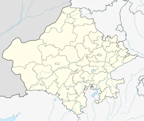 Nagardas Village in India  Nagardas Nagardas (India) | |
| Coordinates: 27°37′N 75°09′E / 27.62°N 75.15°E | |
| Country | |
| State | Rajasthan |
| District | Sikar |
| Tehsil | Fatherpur |
| Government | |
| • Member of Legislative Assembly | Hakam Ali Khan |
| Elevation | 316 m (1,037 ft) |
| Population (2011) | |
• Total | 1,149[1] |
| Languages | |
| • Official | Hindi |
| Time zone | UTC+5:30 (IST) |
| PIN | 332302 |
| Telephone code | 01571 |
| Vehicle registration | RJ-23 |
Nagardas is a village located in the Sikar district of Shekhawati region, in Rajasthan state, India. Nagardas is within the Fatehpur Tehsil. As of 2011, the village had a total population of 1149.[1]
Geography
Nagardas is located at 27°62' North, 75°15' East. The total geographical area of the village is 2125 Bigha (1,329 acres or 538 hectares). Village is located at a distance of 14 km from Fatehpur. Nagardas is near to the historical village of Darunda, Bagas, Athidan Charan Ki Dhani and Barwa Ki Dhani.[2] The temperature ranges from sub-zero in the winter to above 45°C during summer.
Demographics
As per the census of 2011, the population was 1149, of whom 596 were male and 553 were female with literacy rate of 92.81%.[1] The village has a total population of 1149 and has total administration over 209 houses which are connected to supplies basic amenities like water and sewerage.
- Nagardas has 161 children, 86 boys and 75 girls.
- Scheduled caste counts for 275 (23.93%) males constitute 137 (11.92%) of the population and females 138 (12.01%).
Majority of the population depends on the rainwater for the agriculture; its main crops are Bajra, Mung, Guar, and Chawla.