Nagla Tula
Nagla Tula
Nanglatula, Nangla tula, Nagla Tulla | |
|---|---|
village | |
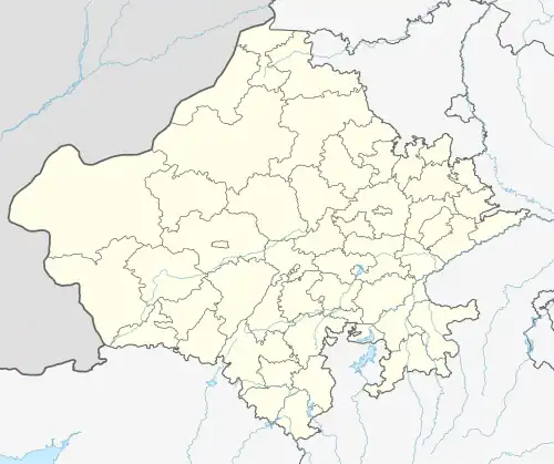 Nagla Tula Location in Rajasthan, India  Nagla Tula Nagla Tula (India) | |
| Coordinates: 26°56′13″N 77°23′38″E / 26.93694°N 77.39389°E | |
| Country | |
| State | Rajasthan |
| District | Bharatpur |
| Tahsil | Roopwas |
| Government | |
| • Body | Gram panchayat |
| Time zone | UTC+5:30 (IST) |
| PIN | 321405[1] |
| ISO 3166 code | RJ-IN |
| Vehicle registration | RJ- |
| Lok Sabha constituency | Bharatpur SC |
| Vidhan Sabha constituency | Bayana SC[2] |
Nagla Tula is a village in Rajasthan, India.[3] Administratively, it is under Rudawal ILRC, Roopwas Tehsil, Bharatpur District, Rajasthan. The village has a population of about a thousand.[4]
In May 2013, during a heat wave, a fire in Nagla Tula burned a large portion of the village.[4][5]
Notes
- ^ "Pincode of Nagla Tula". Maps of India.
- ^ "Parliamentary & Assembly Constituencies wise Polling Stations & Electors" (PDF). Chief Electoral Officer, Rajasthan. 2008. Archived from the original (PDF) on 26 July 2011. Retrieved 22 May 2013.
- ^ "District-wise Block-wise Subcenter List" (PDF). National Rural Health Mission (NRHM), Government of Rajasthan. 26 January 2013.
- ^ a b Press Trust of India (19 May 2013). "Major fire in Rajasthan village, Army pressed into service". NDTV.
- ^ "नगलातुला में भीषण आग, 50 घर स्वाह (In Naglatula fire, 50 houses burn)". Rajasthan Patrika (in Hindi). 19 May 2013. Archived from the original on 16 June 2013.
External links
- "Official Website of Bharatpur District". Archived from the original on 12 May 2013. Retrieved 12 April 2020.