En Nahud
En Nahud
النهود | |
|---|---|
Town | |
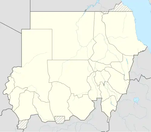 En Nahud Location in Sudan (North Kurdufan state highlighted) | |
| Coordinates: 12°41′33″N 28°25′24″E / 12.69250°N 28.42333°E | |
| Country | |
| State | North Kurdufan |
| Control | |
En Nahud (Arabic: النهود) is a town in the desert of central Sudan. It is located within the state of West Kordofan.[1]
History
In 2021, the Darsaya gold mine in the town collapsed, leading to the deaths of at least 38 people.[2]
During the Sudanese civil war (2023–present), the town was taken by the Rapid Support Forces on 1 May 2025.[3]
Geography
Climate
En Nahud has a hot desert climate (Köppen climate classification BWh) characterized by consistently high temperatures. Temperatures are coolest in December and January and are hottest from April to June. A wet season lasts from June to September with moderate rainfall and relatively high humidity. The period from November to April is almost completely dry, with very low humidity.[4]
| Climate data for En Nahud (1991–2020, extremes 1911–present) | |||||||||||||
|---|---|---|---|---|---|---|---|---|---|---|---|---|---|
| Month | Jan | Feb | Mar | Apr | May | Jun | Jul | Aug | Sep | Oct | Nov | Dec | Year |
| Record high °C (°F) | 43.0 (109.4) |
43.5 (110.3) |
45.2 (113.4) |
45.5 (113.9) |
47.6 (117.7) |
46.3 (115.3) |
41.5 (106.7) |
45.2 (113.4) |
45.0 (113.0) |
42.0 (107.6) |
41.5 (106.7) |
39.8 (103.6) |
47.6 (117.7) |
| Mean daily maximum °C (°F) | 31.3 (88.3) |
33.9 (93.0) |
37.4 (99.3) |
40.2 (104.4) |
40.2 (104.4) |
38.3 (100.9) |
34.4 (93.9) |
33.1 (91.6) |
34.9 (94.8) |
37.1 (98.8) |
35.4 (95.7) |
32.2 (90.0) |
35.7 (96.3) |
| Daily mean °C (°F) | 22.8 (73.0) |
25.1 (77.2) |
28.7 (83.7) |
31.6 (88.9) |
32.5 (90.5) |
31.7 (89.1) |
29.0 (84.2) |
28.0 (82.4) |
28.9 (84.0) |
29.8 (85.6) |
27.2 (81.0) |
23.7 (74.7) |
28.2 (82.8) |
| Mean daily minimum °C (°F) | 14.3 (57.7) |
16.2 (61.2) |
19.9 (67.8) |
22.9 (73.2) |
24.7 (76.5) |
25.0 (77.0) |
23.6 (74.5) |
22.9 (73.2) |
22.9 (73.2) |
22.5 (72.5) |
18.9 (66.0) |
15.1 (59.2) |
20.8 (69.4) |
| Record low °C (°F) | 4.0 (39.2) |
6.5 (43.7) |
10.2 (50.4) |
11.0 (51.8) |
16.4 (61.5) |
14.6 (58.3) |
17.0 (62.6) |
18.0 (64.4) |
18.0 (64.4) |
12.9 (55.2) |
7.3 (45.1) |
6.4 (43.5) |
4.0 (39.2) |
| Average precipitation mm (inches) | 0.0 (0.0) |
0.0 (0.0) |
0.0 (0.0) |
2.0 (0.08) |
18.0 (0.71) |
45.7 (1.80) |
101.9 (4.01) |
116.1 (4.57) |
66.4 (2.61) |
25.7 (1.01) |
0.1 (0.00) |
0.0 (0.0) |
375.9 (14.80) |
| Average precipitation days (≥ 1.0 mm) | 0.0 | 0.0 | 0.0 | 0.3 | 2.0 | 4.8 | 7.5 | 9.2 | 6.7 | 2.6 | 0.0 | 0.0 | 33.1 |
| Average relative humidity (%) | 22 | 16 | 15 | 16 | 30 | 45 | 59 | 68 | 62 | 41 | 24 | 24 | 35 |
| Mean monthly sunshine hours | 303.8 | 268.8 | 282.1 | 276.0 | 263.5 | 255.0 | 217.0 | 201.5 | 231.0 | 272.8 | 300.0 | 303.8 | 3,175.3 |
| Source 1: NOAA[4][5] | |||||||||||||
| Source 2: Meteo Climat (record highs and lows)[6] | |||||||||||||
Transportation
It is served by En Nahud Airport.
References
- ^ Sudan Darfur Archived 2015-06-24 at the Wayback Machine unosat-maps.web.cern.ch
- ^ "Gold mine collapse in Sudan kills at least 38". Al Jazeera. December 29, 2021. Retrieved December 29, 2021.
- ^ "Sudanese paramilitary RSF kills 19 after taking city of al-Nahud: Sources". Al Jazeera. 2 May 2025.
- ^ a b "World Meteorological Organization Climate Normals for 1991-2020 — En Nahud". National Oceanic and Atmospheric Administration. Retrieved January 21, 2024.
- ^ "En Nahud Climate Normals 1961–1990". National Oceanic and Atmospheric Administration. Archived from the original on 2023-05-26. Retrieved January 18, 2016.
- ^ "Station En–Nahud" (in French). Meteo Climat. Retrieved 22 October 2016.