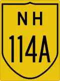
National Highway 114A (India)
 | ||||
|---|---|---|---|---|
Map of the National Highway in red | ||||
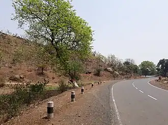 Rampurhat to Dumka road | ||||
| Route information | ||||
| Auxiliary route of NH 14 | ||||
| Length | 310 km (190 mi) | |||
| Major junctions | ||||
| East end | Rampurhat | |||
| West end | Dumri | |||
| Location | ||||
| Country | India | |||
| States | West Bengal, Jharkhand | |||
| Highway system | ||||
| ||||
National Highway 114A, commonly referred to as NH 114A is a national highway in India.[1][2] It is a spur road of National Highway 14.[3] NH-114A traverses the states of West Bengal and Jharkhand in India.[2][4]
Route
Rampurhat, Sunrichua, Shikaripara, Dumka, Lakrapahari, Jama, Jarmundi, Choupa More, Deoghar, Sarath, Madhupur, Giridih, Dumri.[1][2][4]
Junctions
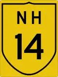 NH 14 terminal near Rampurhat.[1]
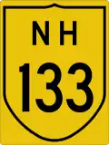 NH 133 near Choupa More.
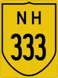 NH 333 near Deoghar.
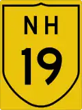 NH 19 terminal near Dumri, Giridih.[1]
See also
References
- ^ a b c d "New highways notification dated February, 2012" (PDF). The Gazette of India - Ministry of Road Transport and Highways. Retrieved 8 July 2018.
- ^ a b c "State-wise length of National Highways (NH) in India as on 30.06.2017". Ministry of Road Transport and Highways. Retrieved 8 July 2018.
- ^ "New Numbering of National Highways notification - Government of India" (PDF). The Gazette of India. Retrieved 8 July 2018.
- ^ a b "National highways in Jharkhand". Press Information Bureau - Government Of India. Retrieved 8 July 2018.
External links
Wikimedia Commons has media related to NH 114A (India).


Secondary routes of National Highway 14 | ||
|---|---|---|
| ||
| Secondary Routes of NH 14 | ||