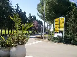
Netiv HaShayara
Netiv HaShayara
נְתִיב הַשַּׁיָּרָה | |
|---|---|
| Hebrew transcription(s) | |
| • unofficial | Nativ HaShayara |
 | |
| Etymology: Path of the Convoy | |
 Netiv HaShayara 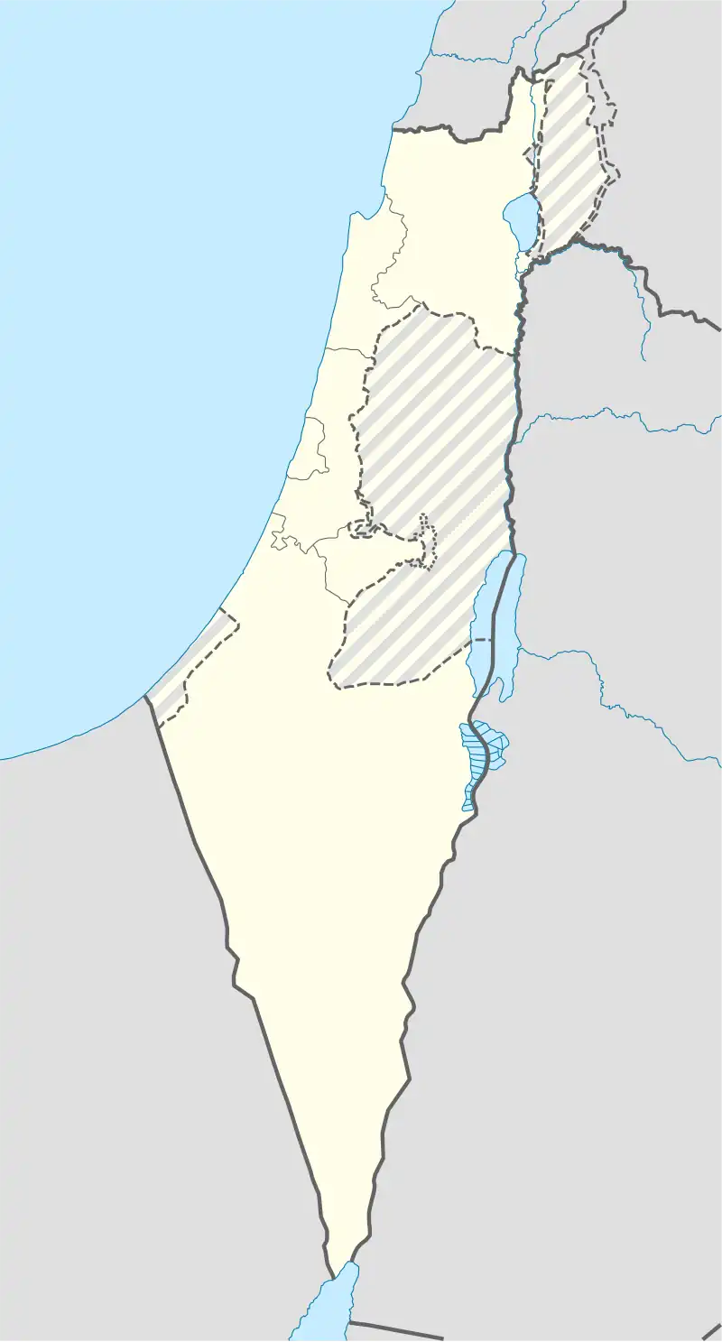 Netiv HaShayara | |
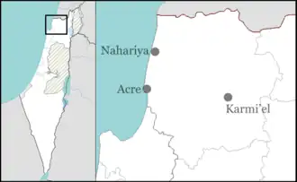
| Coordinates: 32°59′41″N 35°8′12″E / 32.99472°N 35.13667°E | |
| Country | |
| District | Northern |
| Council | Mateh Asher |
| Affiliation | Moshavim Movement |
| Founded | 1950 |
| Founded by | Iraqi and Persian Jews |
| Population (2023)[1] | 488 |
Netiv HaShayara (Hebrew: נְתִיב הַשַּׁיָּרָה, lit. 'Path of the Convoy') is a moshav in northern Israel. Located near Nahariya, it falls under the jurisdiction of Mateh Asher Regional Council. In 2023 it had a population of 488.[1]
History
The village was established in 1950 by immigrants from Iran and Iraq, on lands of the depopulated Palestinian village of al-Ghabisiyya.[2] It was originally named "Doveh" ("plenty"), and later named after the Yehiam convoy (Shayeret Yehiam), which tried to break into the besieged Yehiam during the 1948 Arab-Israeli War.[3]
References
- ^ a b "Regional Statistics". Israel Central Bureau of Statistics. Retrieved 11 August 2025.
- ^ Khalidi, Walid (1992). All That Remains: The Palestinian Villages Occupied and Depopulated by Israel in 1948. Washington D.C.: Institute for Palestine Studies. p. 15. ISBN 0-88728-224-5.
- ^ El'azari, Yuval, ed. (2005). Mapa's concise gazetteer of Israel (in Hebrew). Tel-Aviv: Mapa Publishing. p. 381. ISBN 965-7184-34-7.