Natun Batabari
Natun Batabari | |
|---|---|
Village | |
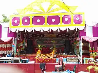 2019 Cultural Program at Natun Batabari | |
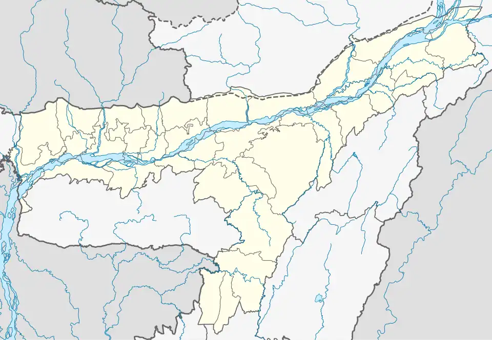 Natun Batabari Location in Assam, India  Natun Batabari Natun Batabari (India) | |
| Coordinates: 26°01′52″N 91°35′08″E / 26.031155°N 91.585573°E | |
| Country | |
| State | Assam |
| Region | Western Assam |
| District | Kamrup |
| Government | |
| • Body | Gram panchayat |
| Languages | |
| • Official | Assamese |
| Time zone | UTC+5:30 (IST) |
| PIN | 781131 |
| Vehicle registration | AS |
| Website | kamrup |
Natun Batabari is a village in Kamrup rural district, situated in Rani, Kamrup.The village is located on the Rabha Hasong Autonomous Council area as well as the Assam Meghalaya border.[1][2]
Transport
The village is accessible through National Highway 37 and connected to nearby towns and cities with regular buses and other modes of transportation.
References
- ^ "Natun Batabari". deccanherald.com. 10 May 2013.
- ^ "Natun Batabari". onlineindiacode.com.