Ndu, Cameroon
Ndu | |
|---|---|
Commune and town | |
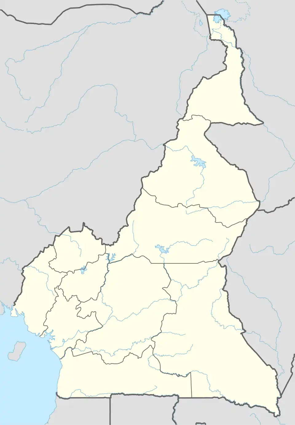 Ndu Location in Cameroon | |
| Coordinates: 6°25′N 10°49′E / 6.417°N 10.817°E | |
| Country | |
| Region | Northwest |
| Population | |
• Total | With a population of slightly over twenty thousand inhabitants. |
| Time zone | UTC+1 (WAT) |
Ndu is a town and commune in Donga-Mantung, a division in the Northwest Region of Cameroon. It lies at the northeast edge of the Bamenda Grassfields, on the eastern arc of the Ring Road.[1] It is the highest elevation town in Cameroon.
About 85,000 people live in Ndu commune. Most are Wimbum - the three clans which speak the Limbum language. Ndu commune contains the southeast part of Wimbum-land, including the villages of Talla, Ngarum, Taku, Ntundip, Luh, Ndu-town, Mbipgo, Njimkang, Njilah, Wowo, Sehn, Ntumbaw, Njirong, Ngulu, Nseh Macop, Sinna and Sop.[2] Nkambe Central commune contains the rest of Wimbum-land.[3] Most Wimbum are farmers, raising maize, beans, potatoes, yams, njama-njama, tomatoes, coffee, plantains, and rice. Most soils are rich and the rain is generally sufficient for good crops.[2] At the south end of Ndu commune is the Ndu Tea Estate, the largest tea plantation in Cameroon.[4] Some people raise cattle, horses, goats, sheep, and fowls.[2]
Ndu town is the administrative headquarters of the commune. The town includes a large market, hotels, schools, two hospitals(Government and Baptist Hospitals), a gendarmerie, and the Cameroon Baptist Theological Seminary.[2]
Ndu lies in Cameroon's Western High Plateau.[1] The land is quite hilly, with elevations ranging from 700m on the Mbaw plain, to cool grassy highlands like Talla at 2200m. Important tree species include mahogany, iroko and sapele.[2] The average weather ranges from 7c to 20c throughout the year
Geography
Climate
Situated at 2,057 m (6,749 ft) above sea level, the town of Ndu has a subtropical highland climate (Cwb, according to the Köppen climate classification), with mild temperatures throughout the year. The rainfall is abundant, with a short dry season between December and February.
| Climate data for Ndu | |||||||||||||
|---|---|---|---|---|---|---|---|---|---|---|---|---|---|
| Month | Jan | Feb | Mar | Apr | May | Jun | Jul | Aug | Sep | Oct | Nov | Dec | Year |
| Mean daily maximum °C (°F) | 26.1 (79.0) |
26.9 (80.4) |
25.9 (78.6) |
24.1 (75.4) |
22.9 (73.2) |
21.8 (71.2) |
20.7 (69.3) |
20.6 (69.1) |
21.2 (70.2) |
21.5 (70.7) |
22.6 (72.7) |
24.7 (76.5) |
23.3 (73.9) |
| Daily mean °C (°F) | 19.0 (66.2) |
20.0 (68.0) |
19.9 (67.8) |
18.9 (66.0) |
18.2 (64.8) |
17.3 (63.1) |
16.6 (61.9) |
16.4 (61.5) |
16.7 (62.1) |
17.0 (62.6) |
17.4 (63.3) |
18.1 (64.6) |
18.0 (64.3) |
| Mean daily minimum °C (°F) | 12.7 (54.9) |
14.1 (57.4) |
15.2 (59.4) |
15.3 (59.5) |
15.0 (59.0) |
14.4 (57.9) |
13.9 (57.0) |
13.8 (56.8) |
13.9 (57.0) |
14.0 (57.2) |
13.4 (56.1) |
12.5 (54.5) |
14.0 (57.2) |
| Average rainfall mm (inches) | 6 (0.2) |
19 (0.7) |
87 (3.4) |
248 (9.8) |
279 (11.0) |
302 (11.9) |
429 (16.9) |
467 (18.4) |
408 (16.1) |
344 (13.5) |
109 (4.3) |
9 (0.4) |
2,707 (106.6) |
| Source: Climate-Data.org[5] | |||||||||||||
See also
- Nkambé for a very brief history of the area.
References
Bibliography
- Map of Cameroon - Nkambe - NB-32-XVII. Yaounde: National Geographic Centre. 1983.
- Mulutakwi, Achiri Robert (2011). "Cameroon Tea Experience" (PDF). Retrieved 2016-11-25.
- "Ndu". United Councils and Cities of Cameroon. Retrieved 2016-11-17.
- "Nkambe". United Councils and Cities of Cameroon. Retrieved 2016-11-16. Contains a map of the communes in Donga-Mantung.
- "Village Dictionary of Donga-Mantung" (PDF). Office de la Recherche Scientifique et Technique Outre-Mer, United Republic of Cameroon. March 1973. Retrieved 2016-11-23. (Online map (1973) at page 41.)
| Boyo | ||
|---|---|---|
| Bui | ||
| Donga-Mantung | ||
| Mezam | ||
| Momo | ||
| Ngo-Ketunjia | ||
| Menchum |
| |
6°25′N 10°48′E / 6.417°N 10.800°E