Neighborhoods in Worcester, Massachusetts
The city of Worcester, Massachusetts consists of six regions: North Worcester, West Side, East Side, Central City, Downtown, and South Worcester. It can be further subdivided into smaller neighborhoods:[1]
| North Worcester | West Side | East Side | Central | Downtown | South Worcester |
|---|---|---|---|---|---|
| Greendale | Forest Grove | Great Brook Valley | Elm Park | Lincoln Square[2] | Webster Square |
| Burncoat | Salisbury Street | Booth Apartments Area | Crown Hill/Piedmont | Federal Square[2] | South Worcester (proper) |
| Indian Hill | Tatnuck | Brittan Square | Main Middle | Worcester Common | Cambridge Street[2] |
| Indian Lake East | West Tatnuck | Biotech Park Area | Beacon Brightly | Hadwen Park | |
| North Lincoln Street | Mill Street[2] | Green Hill Park[3] | University Park | Main South[2] | |
| The Summit[4] | Newton Square | Bell Hill | Lincoln Estate | Green Island | |
| Beaver Brook Area | Laurel/Clayton | Canal District[5] | |||
| Cider Mill | Shrewsbury Street | Kelley Square/Water Street[2] | |||
| Columbus Park | Lake Park | College Hill | |||
| Worcester Regional Airport[2] | Franklin/Plantation | Broadmeadow Brook | |||
| Mass Ave | Hamilton | Quinsigamond Village | |||
| Montvale | Union Hill | ||||
| Hammond Heights | Grafton Hill | ||||
| Vernon Hill |
Others:
- Sunderland/Massasoit Road/Rice Square spans Union Hill, Grafton Hill, and Broadmeadow Brook.[2]
- Lake Avenue/Quinsigamond Lake spans several neighborhoods in South Worcester and East Worcester.[2]
- Park Ave skirts the eastern edge of West Worcester.[2]
- The Edgemere neighborhood is primarily in neighboring Shrewsbury, Massachusetts.[2]
- The Arts District spans several neighborhoods in Central City.[3]
Photo gallery
Central
-
-
-
 Wellington Street
Downtown
-
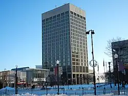
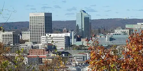 Downtown Skyline
 -

-
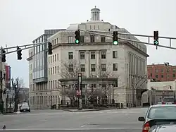 Federal Square
 -
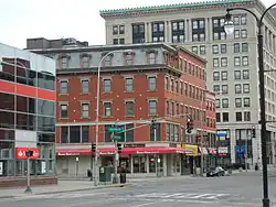 Harrington Corner
 -
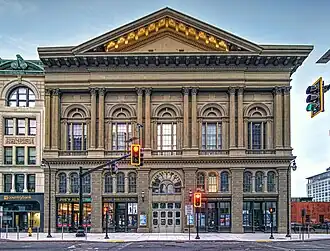
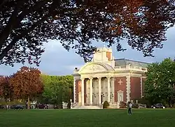
 Lincoln Square
 -
-
-
-
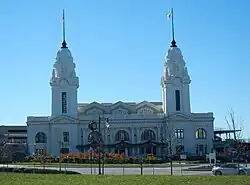 Union Station/ Washington Square
East Side
-
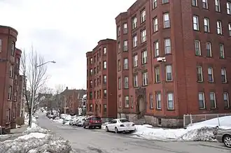
 Houghton Street
 -
-
-
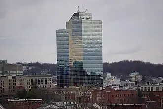
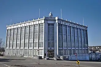
 UMass Memorial Medical Center
North Worcester
-
 Greendale
 -
-
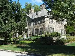
 Worcester Country Club
 -
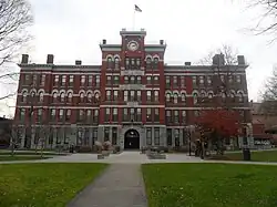
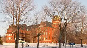 Odd Fellows' Home
 -
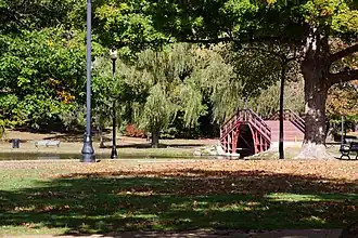
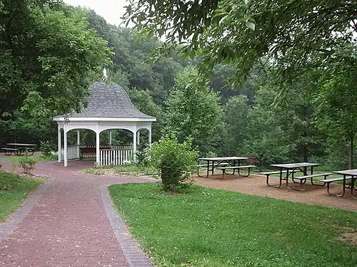 Dodge Park
South Worcester
-
-
-
-
-
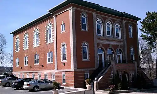
 St. Matthews (Southbridge Street)
West Side
-
-
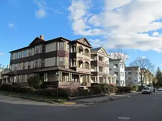
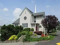
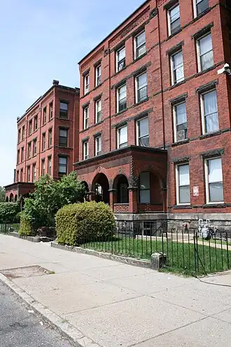
 Lenox Street
 -
-
-
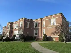 Tatnuck School
 -
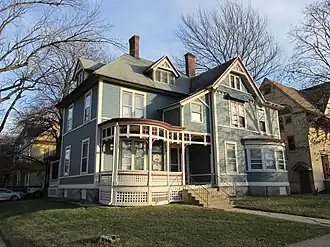
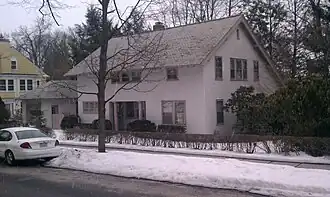
 Westwood Hills
References
- ^ "Worcester Community Indicators". clarku.edu.
- ^ a b c d e f g h i j k Geolocated on Google Maps, 2013-08-12
- ^ a b "Worcester, MA Neighborhood Map - Income, House Prices, Occupations - list of neighborgoods". city-data.com.
- ^ "Sandrof, Ivan. "Your Worcester Street." Franklin Publishing, 1948. p.143" (PDF).
- ^ "Plaid Friday: Shop Local". theswapaholics.com.