New Salem, North Carolina
New Salem | |
|---|---|
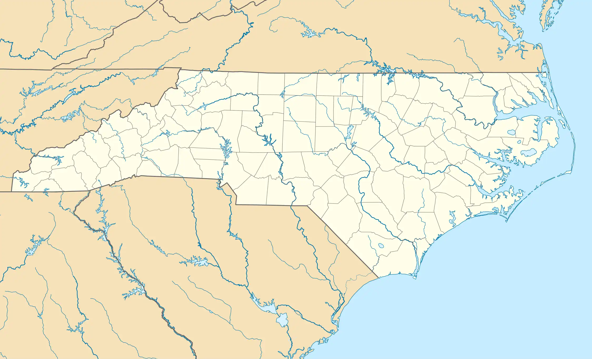 New Salem Location within the state of North Carolina | |
| Coordinates: 35°07′52″N 80°22′09″W / 35.13111°N 80.36917°W | |
| Country | United States |
| State | North Carolina |
| County | Union |
| Elevation | 538 ft (164 m) |
| Time zone | UTC-5 (Eastern (EST)) |
| • Summer (DST) | UTC-4 (EDT) |
| ZIP code | 28103 |
| Area codes | 704, 980 |
| GNIS feature ID | 1021637[1] |
New Salem is an unincorporated community in Union County, North Carolina, United States.[1] It is located northeast of Monroe, at the intersection of NC 205 and NC 218.[2] New Salem is the home of Polk Mountain, which is the southernmost high peak of the Uwharrie Mountains at 861 feet (262 m) at its peak.
References
- ^ a b c "New Salem". Geographic Names Information System. United States Geological Survey, United States Department of the Interior. Retrieved November 17, 2024.
- ^ "New Salem Populated Places Profile". Retrieved March 31, 2013.
Municipalities and communities of Union County, North Carolina, United States | ||
|---|---|---|
| City |  | |
| Towns | ||
| Villages | ||
| CDP | ||
| Other communities | ||
| Ghost town | ||
| Footnotes | ‡This populated place also has portions in an adjacent county or counties | |