Ngwegweni
Ngwegweni | |
|---|---|
 Ngwegweni  Ngwegweni | |
| Coordinates: 30°44′02″S 29°21′25″E / 30.734°S 29.357°E | |
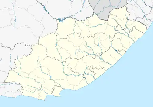
| Country | South Africa |
| Province | Eastern Cape |
| District | Alfred Nzo |
| Municipality | Umzimvubu |
| Area | |
• Total | 3.84 km2 (1.48 sq mi) |
| Population (2011)[1] | |
• Total | 1,796 |
| • Density | 470/km2 (1,200/sq mi) |
| Racial makeup (2011) | |
| • Black African | 99.9% |
| • Indian/Asian | 0.1% |
| • White | 0.1% |
| First languages (2011) | |
| • Xhosa | 98.9% |
| • Other | 1.1% |
| Time zone | UTC+2 (SAST) |
Ngwegweni is a village in Umzimvubu Local Municipality in the Eastern Cape province of South Africa, not far from Mount Ayliff.[2]
References
- ^ a b c d "Main Place Ngwegweni". Census 2011.
- ^ "Khaya Dlanga: The villages are possessed by hopelessness". Mail & Guardian. Retrieved 19 September 2013.
Municipalities and communities of Alfred Nzo District Municipality, Eastern Cape | ||
|---|---|---|
District seat: Mount Ayliff (eMaxesibeni) | ||
| Matatiele |
| .svg.png) |
| Umzimvubu |
| |
| Mbizana | ||
| Ntabankulu |
| |