Nigorigawa Caldera
| Nigorigawa Caldera | |
|---|---|
 Nigorigawa Caldera (relief map) | |
| Highest point | |
| Elevation | 1,168 ft (356 m) |
| Coordinates | 42°07′12″N 140°27′00″E / 42.12000°N 140.45000°E |
| Naming | |
| Native name | 濁川カルデラ (Japanese) |
| Geography | |
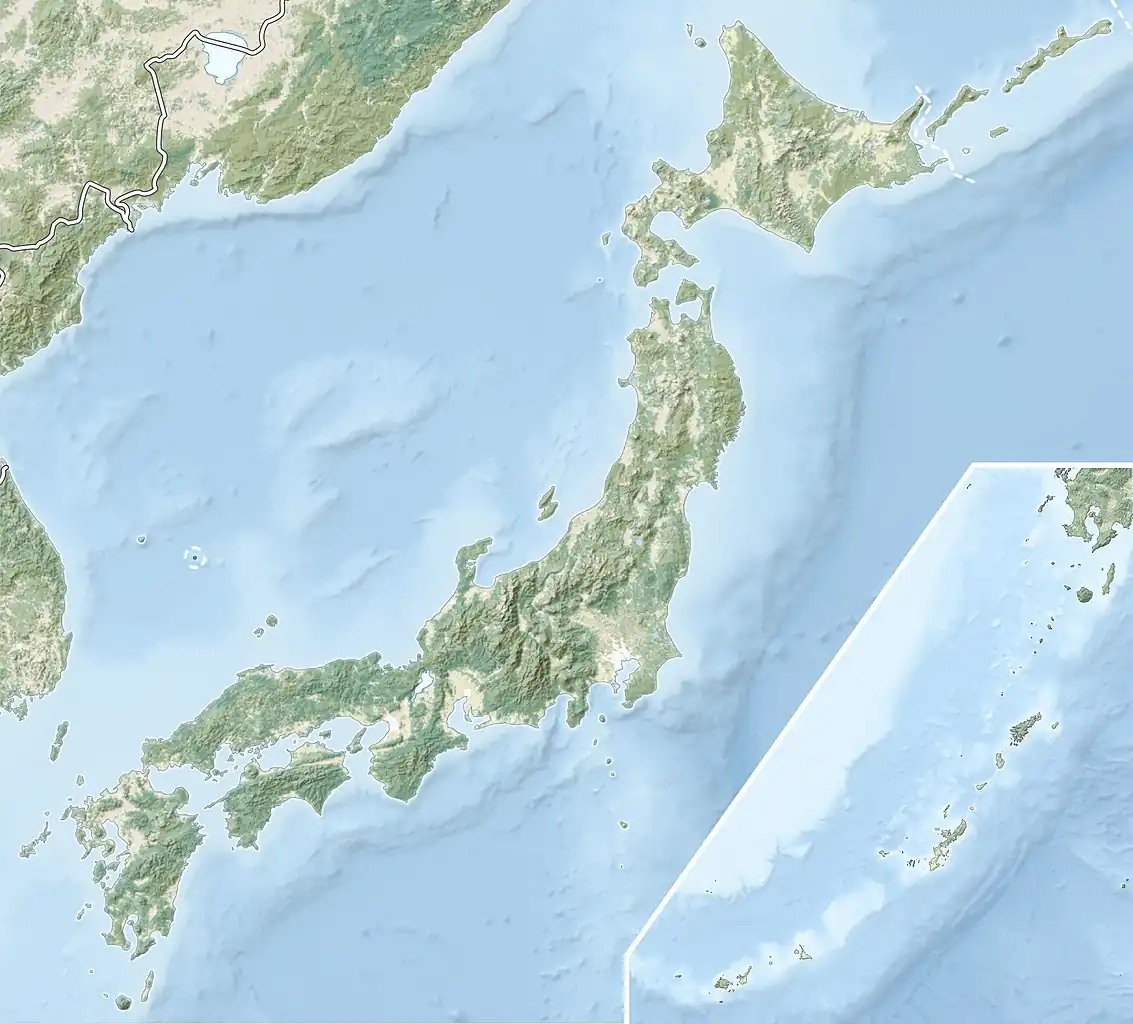 Nigorigawa Caldera Location of Nigorigawa Caldera in Japan | |
| Location | Hokkaido Prefecture, Japan |
| Geology | |
| Mountain type | Volcanic crater |
| Last eruption | 12,000 years ago |
Nigorigawa Caldera (Japanese: 濁川カルデラ, Nigorigawa karudera) is a volcanic crater in Oshima, Hokkaido, Japan.[1][2] It has an elevation of 1,168 ft (356m) and it last erupted 12,000 years ago.[1][2] The caldera has a diameter of 3km.[3]
A town of the same name is located at the caldera. East of Nigorigawa is the town of Mori and an active volcano known as Koma-ga-take.
References
- ^ a b "Nigorigawa". www.volcanodiscovery.com. Retrieved 2020-08-31.
- ^ a b "Nigorikawa". Global Volcanism Program. Smithsonian Institution. Retrieved 2021-06-24.
- ^ "Nigorigawa Volcano, Hokkaido, Japan - John Seach". volcanolive.com. Retrieved 2020-08-31.