Niinivesi
| Niinivesi | |
|---|---|
 | |
 Niinivesi | |
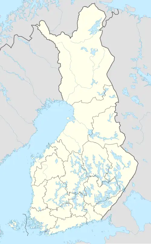
| Location | Rautalampi, Tervo, Vesanto |
| Coordinates | 62°47′49″N 26°44′57″E / 62.79703°N 26.74919°E |
| Type | Lake |
| Primary outflows | Nokisenkoski rapids |
| Catchment area | Kymijoki |
| Basin countries | Finland |
| Max. length | 35 km (22 mi) |
| Surface area | 75.66 km2 (29.21 sq mi) |
| Max. depth | 19.22 m (63.1 ft) |
| Shore length1 | 196.31 km (121.98 mi) |
| Surface elevation | 97.9 m (321 ft) |
| Frozen | December–April |
| Islands | Kotasaari, Papinsaari |
| References | [1] |
| 1 Shore length is not a well-defined measure. | |
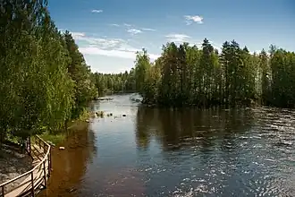
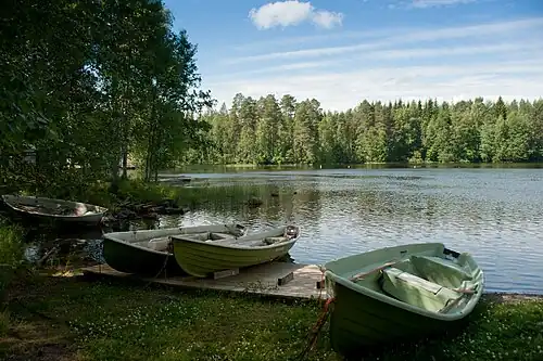
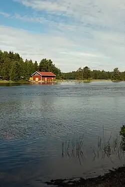
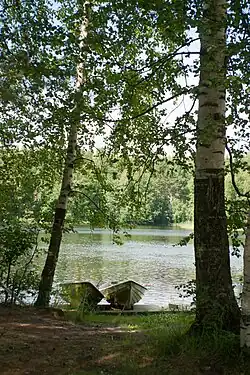
Niinivesi is a medium-sized lake of Finland within the Kymijoki main catchment area. The lake is situated in the municipalities of Rautalampi, Tervo and Vesanto.[1] Niinivesi is almost divided into a northern and southern part. The northern part is 20 kilometers long, resembling a narrow bay. The southern part is connected westwards to the lake Kiesimä via the Kerkonkoski Canal. The water quality in the lake is excellent and clear.
See also
References
- ^ a b Lake Niinivesi in the Jarviwiki Web Service (in English)
External links
 Media related to Lake Niinivesi at Wikimedia Commons