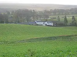
Nine Mile Burn
| Nine Mile Burn | |
|---|---|
 Nine Mile Burn | |
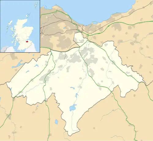 Nine Mile Burn Location within Midlothian | |
| OS grid reference | NT175576 |
| Council area | |
| Lieutenancy area | |
| Country | Scotland |
| Sovereign state | United Kingdom |
| Post town | PENICUIK |
| Postcode district | EH26 |
| Dialling code | 01968 |
| Police | Scotland |
| Fire | Scottish |
| Ambulance | Scottish |
| UK Parliament | |
| Scottish Parliament | |

Nine Mile Burn is a hamlet in Midlothian, Scotland,[1] the last in Midlothian when heading south on the A702 road.
It is located at the foot of the Pentland Hills, near Penicuik and about 2 km north-east of the village of Carlops.
References
- ^ "Nine Mile Burn: Overview". Gazetteer for Scotland. Retrieved 31 July 2018.
External links
Wikimedia Commons has media related to Nine Mile Burn.