Noord-Scharwoude
Noord-Scharwoude | |
|---|---|
Village | |
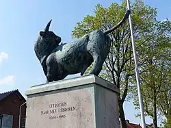 War memorial in Noord-Scharwoude | |
 Noord-Scharwoude Location in the Netherlands 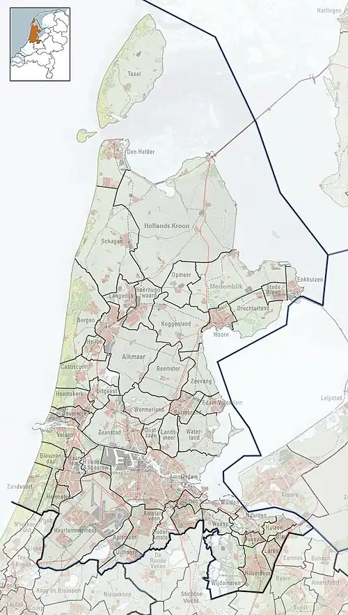 Noord-Scharwoude Location in the province of North Holland in the Netherlands | |
| Coordinates: 52°42′N 4°49′E / 52.700°N 4.817°E | |
| Country | Netherlands |
| Province | North Holland |
| Municipality | Dijk en Waard |
| Area | |
• Total | 4.12 km2 (1.59 sq mi) |
| Elevation | −0.4 m (−1.3 ft) |
| Population (2021)[1] | |
• Total | 6,025 |
| • Density | 1,500/km2 (3,800/sq mi) |
| Time zone | UTC+1 (CET) |
| • Summer (DST) | UTC+2 (CEST) |
| Postal code | 1723[1] |
| Dialing code | 0226 |
Noord-Scharwoude (West Frisian: Noôrd-Skerwou) is a village in the municipality of Dijk en Waard in the province of North Holland, Netherlands.
History
The village was first mentioned in 1094 as Bernardeskercha. The current name means "northern forest belonging to Schoorl". Noord (north) was added to distinguish from Zuid-Scharwoude.[3] Noord-Scharwoude developed in the 11th century as a linear settlement on a dike.[4]
The Catholic John the Baptist church is a three aisled basilica-like church built between 1905 and 1906 as a replacement of an 1856 church.[4]
Noord-Scharwoude was home to 634 people in 1840.[5] It was a separate municipality between 1817 and 1941, when the new municipality Langedijk was created.[6] There used to be a tram line to Alkmaar which was used to transport vegetables to the auction in the village. In 1934, the tram line closed and was reconstructed as a road.[4] The auction no longer exist, and has been converted in apartment buildings. In 2022, Noord-Scharwoude became part of the new municipality of Dijk en Waard.[5]
Gallery
-
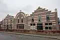 Former canning factory
 -
 Shop in Noord-Scharwoude
 -
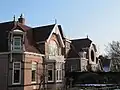 Houses in Noord-Scharwoude
 -
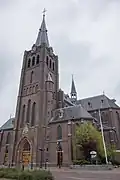 John the Baptist church
See also
References
- ^ a b c "Kerncijfers wijken en buurten 2021". Central Bureau of Statistics. Retrieved 29 April 2022.
- ^ "Postcodetool for 1723AA". Actueel Hoogtebestand Nederland (in Dutch). Het Waterschapshuis. Retrieved 29 April 2022.
- ^ "Noord-Scharwoude - (geografische naam)". Etymologiebank (in Dutch). Retrieved 29 April 2022.
- ^ a b c Ronald Stenvert & Saskia van Ginkel-Meester (2006). "Noord-Scharwoude" (in Dutch). Zwolle: Waanders. Retrieved 29 April 2022.
- ^ a b "Noord-Scharwoude". Plaatsengids (in Dutch). Retrieved 29 April 2022.
- ^ Ad van der Meer and Onno Boonstra, Repertorium van Nederlandse gemeenten, KNAW, 2011.
External links
 Media related to Noord-Scharwoude at Wikimedia Commons