Ocotepec, Chiapas
Ocotepec | |
|---|---|
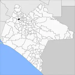 | |
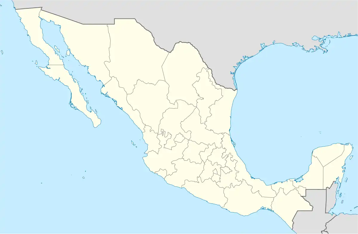 Ocotepec Location in Mexico | |
| Coordinates: 17°13′N 93°09′W / 17.217°N 93.150°W | |
| Country | |
| State | Chiapas |
| Area | |
• Total | 59.6 km2 (23.0 sq mi) |
| Population (2010) | |
• Total | 11,878 |
Ocotepec is a town and municipality in the Mexican state of Chiapas in southern Mexico.
As of 2010, the municipality had a total population of 11,878,[1] up from 9,271 as of 2005.[2] It covers an area of 59.6 km².
As of 2010, the town of Ocotepec had a population of 4,663.[1] Other than the town of Ocotepec, the municipality had 39 localities, the largest of which (with 2010 populations in parentheses) was: San Pablo Huacano (1,427), classified as rural.[1]
References
- ^ a b c "Ocotepec". Catálogo de Localidades. Secretaría de Desarrollo Social (SEDESOL). Archived from the original on 5 March 2016. Retrieved 23 April 2014.
- ^ "Ocotepec". Enciclopedia de los Municipios de México. Instituto Nacional para el Federalismo y el Desarrollo Municipal / Gobierno del Estado de Chiapas. Retrieved August 1, 2008.