Oldtown Covered Bridge
Oldtown Covered Bridge | |
 | |
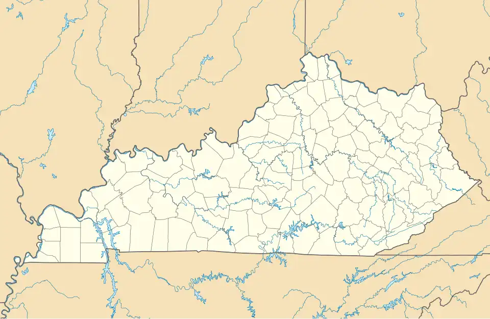  | |
| Nearest city | Oldtown, Kentucky |
|---|---|
| Coordinates | 38°25′53″N 82°53′42″W / 38.43139°N 82.89500°W |
| Area | 2 acres (0.81 ha) |
| NRHP reference No. | 76000893[1] |
| Added to NRHP | March 26, 1976 |
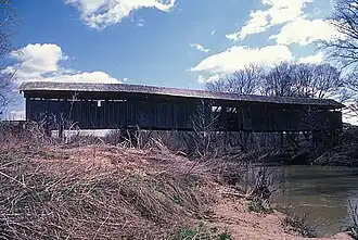
Oldtown Covered Bridge, near Oldtown, Kentucky, was listed on the National Register of Historic Places in 1976.[1]
It is located east of Kentucky Route 1, south of Oldtown. It brings Frazer Branch Road 750 over the Little Sandy River. It is a two-span Burr truss bridge.[2]
See also
- Bennett's Mill Covered Bridge: also in Greenup County, Kentucky
- National Register of Historic Places listings in Greenup County, Kentucky
References
- ^ a b "National Register Information System". National Register of Historic Places. National Park Service. November 2, 2013.
- ^ John Johnson (June 9, 1975). "National Register of Historic Places Inventory/Nomination: Oldtown Covered Bridge". National Park Service. Retrieved September 8, 2018. With accompanying map and photo from 1976
| Topics | |
|---|---|
| Lists by state |
|
| Lists by insular areas | |
| Lists by associated state | |
| Other areas | |
| Lists of specific structure types | |
| Related | |