Olupandu
Olupandu | |
|---|---|
 Olupandu | |
| Coordinates: 17°34′S 15°35′E / 17.567°S 15.583°E | |
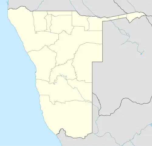
| Country | |
| Region | Omusati |
| Constituency | Etayi |
| Time zone | UTC+2 (SAST) |

Olupandu is a village situated at the southern side of northern Namibia, in the Etayi Constituency of the Omusati Region.[1] It is 200 kilometres (120 mi) from the border between Angola and Namibia. According to the 2001 census, it has a population of 50,000 people, and it covers up to 55 square kilometres (21 sq mi).
Olupandu features a secondary school, Onyika Junior Secondary School, and a hospital, Olupandu clinic. Olupandu is home to Olupandu primary school, Olupandu clinic and Olupandu Elcin Church[2]. Its neighbouring villages are Ohembe, Okamwandi and Omafa.
References
- ^ "Presidential and National Assembly Elections 2009". Supplement to several Namibian newspapers. Electoral Commission of Namibia. November 2009.
- ^ "Know your civil servant - Elevating learning and development in public service". Truth, for its own sake. Retrieved 2023-09-10.