Ongogni District
Ongogni
Ongoni | |
|---|---|
| Coordinates: 1°36′S 16°00′E / 1.6°S 16°E | |
| Country | |
| Department | Nkéni-Alima |
| Area | |
• Total | 456.5 km2 (176.3 sq mi) |
| Population (2023 census)[1] | |
• Total | 17,381 |
| • Density | 38/km2 (99/sq mi) |
| Time zone | UTC+1 (GMT +1) |
Ongogni or Ongoni is a district in the Nkéni-Alima of the Republic of the Congo.[2][3][4][5][6]
References
- ^ "Congo (Rep.): Administrative Division". www.citypopulation.de. Retrieved 2024-02-03.
- ^ "Districts of the Republic of Congo (Congo Brazzaville)". statoids. Retrieved 28 January 2019.
- ^ "Annuaire Statistique du Congo 2004" (PDF) (in French). Centre National de la Statistique et des Études Économiques (CNSEE). 2006. Retrieved 26 May 2012.
- ^ "Annuaire Statistique du Congo 2007" (PDF) (in French). Centre National de la Statistique et des Études Économiques (CNSEE). 2009. Retrieved 26 May 2012.
- ^ "Annuaire Statistique du Congo 2009" (PDF) (in French). Centre National de la Statistique et des Études Économiques (CNSEE). 2011. Retrieved 26 May 2012.
- ^ "Loi n° 25-2024 du 8 octobre 2024" (PDF). Journal officiel de la République du Congo (in French). No. 42. Government of the Republic of the Congo. 17 October 2024. p. 1305. Retrieved 20 June 2025.
| Bouenza | 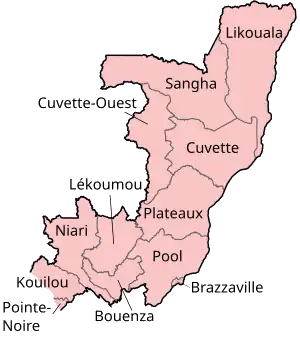 | |
|---|---|---|
| Brazzaville | ||
| Congo-Oubangui | ||
| Cuvette | ||
| Cuvette-Ouest | ||
| Djoué-Léfini | ||
| Kouilou | ||
| Lékoumou | ||
| Likouala | ||
| Niari | ||
| Nkéni-Alima | ||
| Plateaux | ||
| Pointe-Noire | ||
| Pool | ||
| Sangha | ||