Orland Colony, South Dakota
Orland Colony, South Dakota | |
|---|---|
 Orland Colony  Orland Colony | |
| Coordinates: 43°49′18″N 97°11′56″W / 43.82167°N 97.19889°W[1] | |
| Country | United States |
| State | South Dakota |
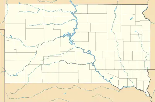
| County | McCook |
| Area | |
• Total | 0.51 sq mi (1.31 km2) |
| • Land | 0.51 sq mi (1.31 km2) |
| • Water | 0.00 sq mi (0.00 km2) |
| Elevation | 1,739 ft (530 m) |
| Population | |
• Total | 2 |
| • Density | 3.94/sq mi (1.52/km2) |
| Time zone | UTC-6 (Central (CST)) |
| • Summer (DST) | UTC-5 (CDT) |
| ZIP Code | 57048 (Montrose) |
| Area code | 605 |
| FIPS code | 46-47588 |
| GNIS feature ID | 2813044[1] |
Orland Colony is a census-designated place (CDP) and Hutterite colony[4] in McCook County, South Dakota, United States. The population was 2 at the 2020 census.[5] It was first listed as a CDP prior to the 2020 census.[1]
It is in the northeast part of the county, 10 miles (16 km) by road north of Montrose and 16 miles (26 km) northeast of Salem, the county seat.
Demographics
| Census | Pop. | Note | %± |
|---|---|---|---|
| 2020 | 2 | — | |
| U.S. Decennial Census[6] | |||
References
- ^ a b c d U.S. Geological Survey Geographic Names Information System: Orland Colony, South Dakota
- ^ "ArcGIS REST Services Directory". United States Census Bureau. Retrieved October 15, 2022.
- ^ "Census Population API". United States Census Bureau. Retrieved October 15, 2022.
- ^ Friesen, Bert (May 2021). "Orland Hutterite Colony (Montrose, South Dakota, USA)". Global Anabaptist Mennonite Encyclopedia Online. Retrieved September 16, 2021.
- ^ "U.S. Census Bureau: Orland Colony CDP, South Dakota". www.census.gov. United States Census Bureau. Retrieved March 19, 2022.
- ^ "Census of Population and Housing". Census.gov. Retrieved June 4, 2016.
Municipalities and communities of McCook County, South Dakota, United States | ||
|---|---|---|
| Cities |  | |
| CDPs | ||
| Unincorporated community | ||