Orto-Tokoy
Orto-Tokoy
Орто-Токой | |
|---|---|
 Orto-Tokoy | |
| Coordinates: 42°20′24″N 76°1′12″E / 42.34000°N 76.02000°E | |
| Country | Kyrgyzstan |
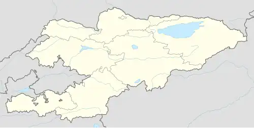
| Region | Issyk-Kul Region |
| City | Balykchy |
| Elevation | 1,834 m (6,017 ft) |
| Population (2021) | |
• Total | 491 |
| Time zone | UTC+6 |
Orto-Tokoy (Kyrgyz: Орто-Токой) is an urban-type settlement in the Issyk-Kul Region of Kyrgyzstan, just north of the A365 highway between Kochkor and Balykchy. Its population was 491 in 2021.[1] Administratively, it is part of the city of Balykchy.[2] It is on the east-flowing part of the upper river Chu, downstream from the Orto-Tokoy Reservoir and dam.
Population
| Year | Pop. | ±% p.a. |
|---|---|---|
| 1970 | 445 | — |
| 1979 | 398 | −1.23% |
| 1989 | 601 | +4.21% |
| 1999 | 605 | +0.07% |
| 2009 | 495 | −1.99% |
| 2021 | 491 | −0.07% |
| Note: resident population; Sources:[3][1] | ||
References
- ^ a b "Population of regions, districts, towns, urban-type settlements, rural communities and villages of Kyrgyz Republic" (XLS) (in Russian). National Statistics Committee of the Kyrgyz Republic. 2021. Archived from the original on 10 November 2021.
- ^ "Classification system of territorial units of the Kyrgyz Republic" (in Kyrgyz). National Statistics Committee of the Kyrgyz Republic. May 2021. pp. 16–17.
- ^ "2009 population and housing census of the Kyrgyz Republic: Issyk-Kul Region" (PDF) (in Russian). National Statistics Committee of the Kyrgyz Republic. 2010. p. 207.