Osoyoos Airport
Osoyoos Airport | |||||||||||
|---|---|---|---|---|---|---|---|---|---|---|---|
| Summary | |||||||||||
| Airport type | Public | ||||||||||
| Owner/Operator | Town of Osoyoos | ||||||||||
| Serves | South Okanagan West Kootenays Boundary Country | ||||||||||
| Location | Osoyoos, British Columbia, Canada | ||||||||||
| Time zone | PST (UTC−08:00) | ||||||||||
| • Summer (DST) | PDT (UTC−07:00) | ||||||||||
| Elevation AMSL | 1,100 ft / 335 m | ||||||||||
| Coordinates | 49°02′14″N 119°29′20″W / 49.03722°N 119.48889°W | ||||||||||
| Website | www.osoyoos.ca | ||||||||||
| Map | |||||||||||
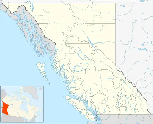 CBB9 Location in British Columbia  CBB9 CBB9 (Canada) | |||||||||||
| Runways | |||||||||||
| |||||||||||
Source: Canada Flight Supplement[1] | |||||||||||
Osoyoos Airport (TC LID: CBB9) is a regional airport in Osoyoos, British Columbia, a town in the Okanagan region of Canada. It is owned and operated by the town of Osoyoos, serving the South Okanagan, West Kootenays, and Boundary Country areas. The strip is a short paved runway, 2,477 by 75 ft (755 by 23 m), numbered 12–30. The airport has no facilities or services.
Facilities
The airport is located at 49°02′14″N 119°29′20″W / 49.03722°N 119.48889°W off of the Crowsnest Highway and Highway 97. Taxi services are available, but there are no facilities or services offered at the airport itself.
See also
References
External links
| By name | |
|---|---|
| By location indicator | |
| By province/territory | |
| By area | |
| National Airports System | |
| Related | |
| |