Otsquene Creek
| Otsquene Creek | |
|---|---|
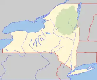 Location of the mouth of Otsquene Creek  Otsquene Creek (the United States) | |
| Location | |
| Country | United States |
| State | New York |
| Region | Central New York Region |
| Counties | Herkimer, Montgomery |
| Physical characteristics | |
| Source | |
| • coordinates | 42°57′52″N 74°46′15″W / 42.964384°N 74.770851°W |
| Mouth | Otsquago Creek |
• location | Valley Brook, New York, United States |
• coordinates | 42°55′53″N 74°40′20″W / 42.9314400°N 74.6722380°W[1][2] |
• elevation | 423 ft (129 m) |
Otsquene Creek is a river in Herkimer County and Montgomery County in the U.S. State of New York. It enters Otsquago Creek by Valley Brook, New York.[3] On the 1905 Fulton and Montgomery County Atlas it is referred to as Crab-skill Creek.
References
- ^ "Otsquene creek". Geographic Names Information System. United States Geological Survey, United States Department of the Interior. Retrieved 2017-11-28.
- ^ "Mohawk/Canajoharie Creek Watershed - New York State Department of Environmental Conservation". dec.ny.gov. dec.ny.gov. 2019. Retrieved 6 June 2019.
data
- ^ "Otsquene Creek" (PDF). dec.ny.gov. nysdec. 2002. Retrieved 3 October 2017.
data