Pötting
Pötting | |
|---|---|
 Coat of arms | |
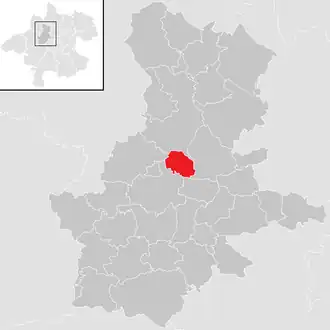 Location in the district | |
 Pötting Location within Austria | |
| Coordinates: 48°17′0″N 13°46′27″E / 48.28333°N 13.77417°E | |
| Country | Austria |
| State | Upper Austria |
| District | Grieskirchen |
| Government | |
| • Mayor | Peter Oberlehner (ÖVP) |
| Area | |
• Total | 7.43 km2 (2.87 sq mi) |
| Elevation | 381 m (1,250 ft) |
| Population (2018-01-01)[2] | |
• Total | 541 |
| • Density | 73/km2 (190/sq mi) |
| Time zone | UTC+1 (CET) |
| • Summer (DST) | UTC+2 (CEST) |
| Postal code | 4720 |
| Area code | 07733 |
| Vehicle registration | GR |
| Website | www.poetting.ooe.gv.at |
Pötting is a municipality in the district of Grieskirchen in the Austrian state of Upper Austria.
Geography
Pötting lies in the Hausruckviertel. About 5 percent of the municipality is forest, and 84 percent is farmland.
References
- ^ "Dauersiedlungsraum der Gemeinden Politischen Bezirke und Bundesländer - Gebietsstand 1.1.2018". Statistics Austria. Retrieved 10 March 2019.
- ^ "Einwohnerzahl 1.1.2018 nach Gemeinden mit Status, Gebietsstand 1.1.2018". Statistics Austria. Retrieved 9 March 2019.
Wikimedia Commons has media related to Pötting.