Pšata
| Pšata | |
|---|---|
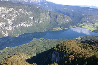
 The Pšata at Topole | |
| Location | |
| Country | Slovenia |
| Physical characteristics | |
| Source | |
| • elevation | 405 m (1,329 ft) [1] |
| Mouth | |
• location | Kamnik Bistrica |
• coordinates | 46°05′24″N 14°37′26″E / 46.09000°N 14.62389°E |
• elevation | 269 m (883 ft) [1] |
| Length | 28 km (17 mi)[1] |
| Basin size | 139 km2 (54 sq mi)[1] |
| Basin features | |
| Progression | Kamnik Bistrica→ Sava→ Danube→ Black Sea |
The Pšata (pronounced [ˈpʃaːta]; in older sources also Pešata[2]) is a river of Slovenia. The river is 28 km (17 mi) long.[1] It is a right tributary of the Kamnik Bistrica, which merges with the Sava east of Ljubljana, the capital of Slovenia.
References
- ^ a b c d e Rivers, longer than 25 km, and their catchment areas, Statistical Office of the Republic of Slovenia
- ^ Krajevni leksikon Dravske Banovine. 1937. Ljubljana: Zveza za tujski promet za Slovenijo, p. 190.
External links
- Condition of the Pšata graphs, in the following order, of water level, flow, and temperature data for the past 30 days (taken in Topole by ARSO)
Hydrography of Slovenia | ||
|---|---|---|
| Rivers |
|  |
| Streams | ||
| Waterfalls | ||
| Lakes | ||
| Wetlands | ||
| Sea | ||
| River valleys |
| |
| Canyons and gorges |
| |